Hiking

Medium

Tschirgant (Karröster Alm)

Hiking

4,00 km

05:00 h

887 hm

922 hm

2370 m

Information

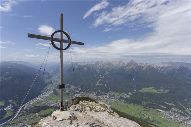
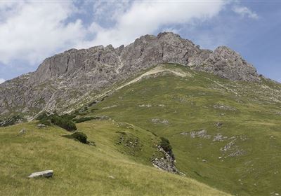
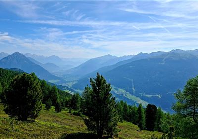
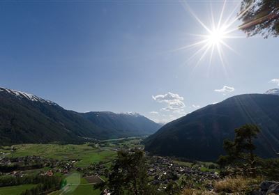
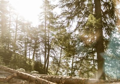
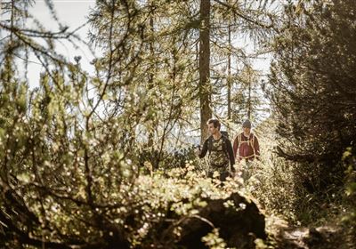
From the Karröster Alm, you set off on a gentle path across picturesque alpine meadows. Soon, the climb begins, and you enter a shady mountain forest. Especially in early and summer, you'll be accompanied by vibrant alpine roses – a veritable sea of flowers! The path winds its way gently, with small clearings opening up every now and then, offering impressive views of the surrounding mountains. Here, you can take a moment to breathe and enjoy the peace and quiet. At a junction, keep straight ahead. From here, the path becomes noticeably steeper. You'll pass through the last stands of Swiss stone pine and larch before emerging above the tree line. Up there, the final climb to the ridge awaits – it's worth it, as you'll be rewarded with a stunning 360° panorama of the Tyrolean mountains. Now it's getting alpine! A narrow path leads you along the ridge, gently ascending towards the Karrer Kreuz (2,370 m), the highest point of the hike. Absolute surefootedness and a head for heights are required here – please only attempt this route with mountaineering experience! Once you reach the top, the mountains are at your feet. From the Karrer Kreuz, the path descends to the Karröster Kreuz, where you'll enjoy a magnificent view of Imst. It's a perfect spot for a short break and a souvenir photo! The descent leads you to a longer, rope-secured section. Concentration is required here once again – please be careful and attentive! After this section, the most demanding part of the tour is behind you. Shortly afterwards, you'll reach the mountain rescue hut, where, with a bit of luck, you'll meet one of the mountain rangers selling cold drinks – a real insider tip! From here, the path leads steeply downhill in switchbacks, accompanied by fantastic views of Imst. Soon, you'll plunge back into the forest and return to the starting point at the Karröster Alm.

Features & Characteristics

Stamina

Skill

Start Point

Karröster Alm

End Point

Karröster Alm

Map & Elevation Profile

Similar Tour Suggestions

Hochimst-1-4.jpg

Medium

Hiking

Section 3: Mils - Imst

Long distance trails

10,40 km

04:00 h

463 hm

547 hm

1035 m

Gurgltal.jpg

Easy

Hiking

Gurgltal (No. 21)

Hiking tour

Loop Hike

16,80 km

02:30 h

106 hm

850 m

20220815_134202.jpg

Medium

Hiking

Platteinwiese (Narrenkreuz)

Hiking tour

3,00 km

02:20 h

393 hm

2000 m

2000px-muszla_jakuba.svg.png

Easy

Hiking

Jakobsweg - connection Stams - Nassereith

Long distance trails

17,90 km

05:30 h

527 hm

343 hm

1149 m

Eagle Walk Stage: 19

Medium

Hiking

Eagle Walk Stage 19: Anhalter Hütte - Hanauer Hütte

Eagle walk

12,30 km

04:00 h

813 hm

941 hm

2188 m

Kronburg-1-2.jpg

Easy

Hiking

Kronburger Tobl (Nr. 87)

Hiking tour

2,50 km

01:00 h

122 hm

152 hm

1057 m

WF_Imst_T08_IMG_01_5808_Plott.jpg

Easy

Hiking

Starkenberger See

Hiking tour

6,50 km

02:10 h

217 hm

212 hm

1005 m

Kappakreuz.jpg

Medium

Hiking

Kappakreuz

Hiking tour

1,40 km

02:30 h

403 hm

1234 m

tirolimster-bergbahnenAlpine Coaster Logoarea47trustyou