Hiking

Easy

Gurgltal (No. 21)

Hiking tour

16,80 km

02:30 h

106 hm

850 m

Information

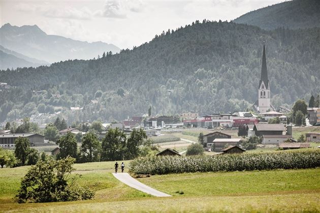
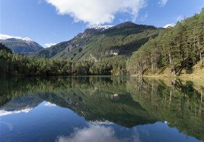
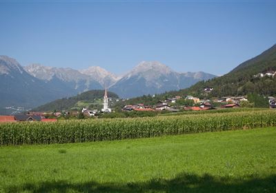
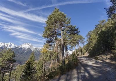
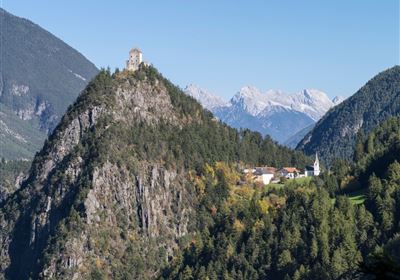
The valley hike through the Gurgltal valley from Tarrenz to Nassereith stretches over 17 kilometers and offers a varied route through forests and meadows, as well as a section along the old Roman road Via Claudia Augusta. A special highlight along the way is the picturesque reservoir in Tarrenz, where, with a bit of luck, beavers can even be spotted. On the way back, the Frauenbrunnen healing spring with its small Kneipp facility invites hikers to relax their tired feet. This hike promises an unforgettable nature experience and the opportunity to enjoy the beauty of the region to the full.

Recommended Equipment

good shoes, enough to drink

Features & Characteristics

Stamina

Start Point

Tarrenz

End Point

Tarrenz

Map & Elevation Profile

Similar Tour Suggestions

Imst_Wetterkreuz-1-2.jpg

Easy

Hiking

Section 4: Imst - Tarrenz

Long distance trails

7,10 km

02:30 h

298 hm

252 hm

1063 m

imst_tourismus_bergsteigen_wyhlidal_west_0305.jpg

Medium

Hiking

Alpjoch (No. 28)

Hiking tour

8,80 km

05:00 h

320 hm

835 hm

2339 m

20190811_114250.jpg

Medium

Hiking

Panoramasteig

Hiking tour

7,70 km

03:30 h

502 hm

494 hm

1204 m

DJI_0391.jpg

Medium

Hiking

Seenwanderung

Hiking

Hiking tour

14,00 km

04:00 h

159 hm

160 hm

2018-Wandern-Bergsteigen-Tarrenz-Sinnesbrunn-Alpleskopf-web-©Rudi Wyhlidal (157).jpg

Medium

Hiking

Lehnberghaus

Hiking tour

5,70 km

02:46 h

409 hm

1554 m

img_9853.jpg

Medium

Hiking

Three-huts-tour

Hiking tour

13,20 km

06:00 h

1120 hm

1057 hm

2028 m

Loreahütte.jpg

Medium

Hiking

Loreahütte

Hiking tour

5,80 km

06:00 h

1502 hm

2427 m

imst_tourismus_wandern_wyhlidal_west_0563.jpg

Medium

Hiking

Gafleinhütte

Hiking tour

4,30 km

02:00 h

253 hm

256 hm

1681 m

tirolimster-bergbahnenAlpine Coaster Logoarea47trustyou