Hiking

Medium

Auf den Tschirgant über die Bergwachthütte

Hiking tour

Circular hike

14,00 km

06:30 h

1300 hm

2358 m

Information

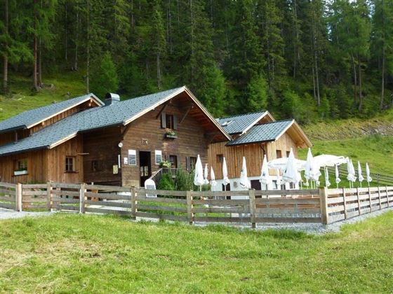
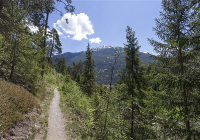
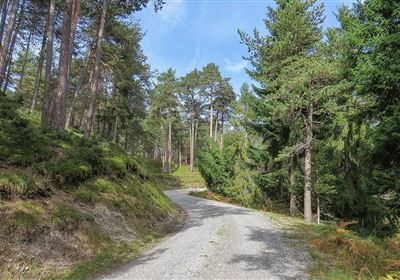
The hike to the Tschirgant via the mountain hut from the Karröster Alm parking lot offers an unforgettable adventure with a breathtaking 360° view at the summit. The varied trail leads through diverse landscapes, from gentle alpine meadows to gravel paths and rocky sections. Steep climbs alternate with flatter passages, making the tour both challenging and exciting. A short passage secured with a steel cable shortly after the mountain rescue hut adds extra spice to the hike. In total, the route comprises 1300 meters of ascent over a distance of 7 kilometers and promises an unforgettable nature experience for all hiking enthusiasts.


Recommended Equipment

good shoes, enough to drink

Features & Characteristics

Stamina

Skill

Start Point

Karröster Alm

End Point

Tschirgant

Circular hike

Yes

Map & Elevation Profile

Similar Tour Suggestions

img_9853.jpg

Medium

Hiking

Three-huts-tour

Hiking tour

Loop Hike

13,20 km

06:00 h

1120 hm

1057 hm

2028 m

20240608_132458.jpg

Medium

Hiking

Tschirgant (No. 24)

Hiking

Hiking tour

08:30 h

1162 hm

1592 hm

2332 m

Dormitz.jpg

Easy

Hiking

Dormitz (No. 106)

Hiking tour

4,60 km

02:00 h

114 hm

915 m

2000px-Muszla_Jakuba.svg.png

Easy

Hiking

Jakobsweg - connection Stams - Nassereith

Long distance trails

17,90 km

05:30 h

527 hm

343 hm

1149 m

im_huetten_karreralm_004.jpg

Medium

Hiking

Karrer Alm / Tschirgant

Hiking tour

Summit tour

17,00 km

07:00 h

1553 hm

1521 hm

2254 m

imst_wenzler_050.jpg

Easy

Hiking

Milser Au (No. 79)

Hiking tour

1,40 km

01:30 h

5 hm

727 m

Rüsselbach.jpg

Medium

Hiking

Rüsselbach (No. 75)

Hiking tour

4,60 km

02:00 h

390 hm

1164 m

weg zu opferstock.jpg

Easy

Hiking

Opferstockweg

Hiking tour

Loop Hike

9,60 km

04:00 h

617 hm

610 hm

1632 m

tirolimster-bergbahnenAlpine Coaster Logoarea47trustyou