Hiking

Easy

Milser Au (No. 79)

Hiking tour

1,40 km

01:30 h

5 hm

727 m

Information

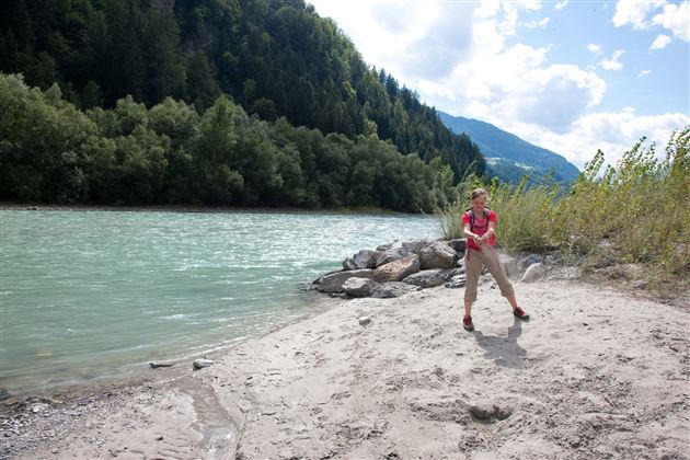
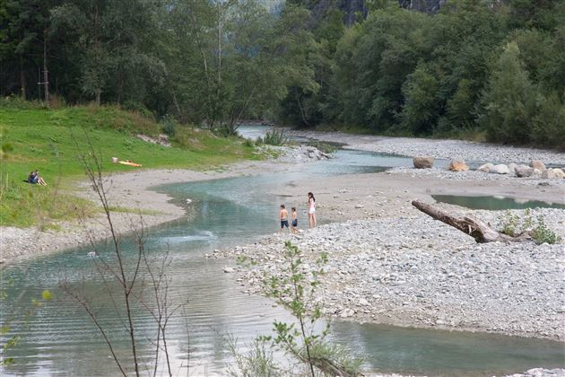
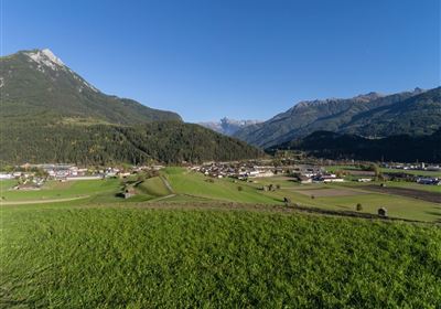
Experience the relaxed hike along the Milser Au, which starts directly from the Alpenrast Tyrol. This leisurely route takes you through an idyllic landscape, past fields and a small forest, until you finally reach the sports field in Mils.

The trail offers a pleasant change between open fields and shady sections of forest, inviting you to linger and relax.

Once you have reached the sports field, the return route meanders along the picturesque green Inn back to the starting point at Alpenrast Tyrol. Along the riverbank, you can enjoy the magnificent view and the invigorating freshness of the water as you leisurely follow your way back.

The hike along the Milser Au is ideal for anyone who wants to spend a relaxing time in nature without having to conquer large differences in altitude. Enjoy the beauty of the surroundings and leave everyday life behind you as you stroll through this picturesque landscape.

Recommended Equipment

good shoes, enough to drink

Features & Characteristics

Start Point

Alpenrast Tyrol

End Point

Alpenrast Tyrol

Map & Elevation Profile

Similar Tour Suggestions

Eagle Walk Stage: 20

Hard

Hiking

Eagle Walk Stage 20: Hanauer Hütte - Württemberger Haus

Eagle walk

11,00 km

07:00 h

1240 hm

930 hm

2480 m

WF_Imst_T11_IMG_01_4754_Durner.jpg

Easy

Hiking

Geo-Lehrpfad – Karröster Alm

Hiking tour

6,40 km

03:00 h

432 hm

426 hm

1468 m

starkenberger_panoramaweg_etappe_4 (7).jpg

Medium

Hiking

Starkenberger Panoramic Route (total)

Long distance trails

69,80 km

24:00 h

2697 hm

2572 hm

1519 m

20230629_162959.jpg

Easy

Hiking

Jägersteig

Hiking tour

3,00 km

01:15 h

137 hm

WF_Imst_T17_IMG_01_7248_Durner.jpg

Medium

Hiking

Anhalter Hütter - Tschachaun

Hiking tour

Hut hike

+1

9,60 km

06:00 h

829 hm

837 hm

2327 m

heiterwandhuette.jpeg

Medium

Hiking

Heiterwandhütte

Hiking tour

8,00 km

05:00 h

1133 hm

127 hm

2003 m

Wannig.jpg

Hard

Hiking

Wannig

Hiking tour

12,00 km

12:00 h

1715 hm

2493 m

2018-Wandern-Bergsteigen-Tarrenz-Sinnesbrunn-Alpleskopf-web-©Rudi Wyhlidal (97).jpg

Hard

Hiking

Namlose Wetterspitze

Hiking

Hiking tour

15,00 km

09:00 h

1621 hm

1077 hm

tirolimster-bergbahnenAlpine Coaster Logoarea47trustyou