Hiking

Medium

Maisalm / Mutkopf

Hiking tour

Hut hike

+1

8,80 km

06:00 h

1466 hm

47 hm

2241 m

Information

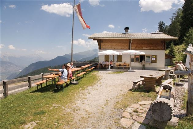
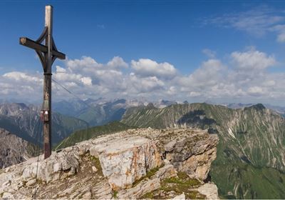
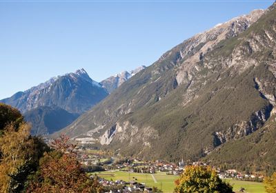
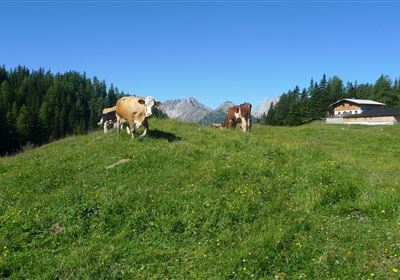
Discover the impressive hike from Roppen to the Mutkopf, a route that requires an excellent level of fitness. The trail starts in the Oberängern district of Roppen and takes you through varied landscapes. You will be challenged right from the start of the hike, as the trail leads you uphill through the forest. But your efforts are rewarded when you reach the Maisalpe and enjoy a magnificent view of the valley and the surrounding mountains. The trail continues uphill across lush meadows, past the unmanaged Muthütte hut, until you finally reach the Mutzeiger at an altitude of 2277 meters. Up here, you are rewarded for all your efforts with a breathtaking panorama.

Course: Maisalm (2.5 hours) - Mutzeiger

Tip/worth seeing: Forchheimer Höhenweg

From Roppen a forest path (approx. 2.5h) leads up to the Maisalm. From here you continue to the Mutzeiger.

Recommended Equipment

good shoes, enough to drink

Features & Characteristics

Stamina

Skill

Start Point

Roppen

End Point

Mutkopf

Map & Elevation Profile

Similar Tour Suggestions

Karres - Roppen.jpg

Easy

Hiking

Karres - Roppen

Hiking tour

5,50 km

01:40 h

96 hm

225 hm

856 m

imst_tourismus_wandern_wyhlidal_west_0563.jpg

Medium

Hiking

Gafleinhütte

Hiking tour

4,30 km

02:00 h

253 hm

256 hm

1681 m

Loreahütte.jpg

Medium

Hiking

Loreahütte

Hiking tour

5,80 km

06:00 h

1502 hm

2427 m

Wannig.jpg

Hard

Hiking

Wannig

Hiking tour

12,00 km

12:00 h

1715 hm

2493 m

2015-Schwimmen & Tauchen-Starkenberger See-Tarrenz-©Unbekannt (16).jpg

Easy

Hiking

Starkenberger See

Hiking tour

Loop Hike

5,00 km

02:00 h

106 hm

110 hm

900 m

Adlerweg Etappe 19: Hanauer Hütte

Medium

Hiking

Eagle Walk Stage 19: Anhalter Hütte - Hanauer Hütte

Eagle walk

12,30 km

04:00 h

813 hm

941 hm

2188 m

Muthenaualm.JPG

Medium

Hiking

Muthenaualm

Hiking tour

Hut hike

+1

6,80 km

04:20 h

988 hm

85 hm

1783 m

im_huette_anhalter_015.jpg

Medium

Hiking

Anhalter Hütte

Hiking tour

Hut hike

6,00 km

03:00 h

514 hm

515 hm

2195 m

tirolimster-bergbahnenAlpine Coaster Logoarea47trustyou