Hiking

Easy

Imsterberger Venetalm

Hiking tour

8,80 km

05:00 h

1099 hm

1980 m

Information

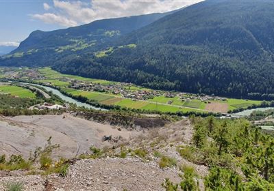
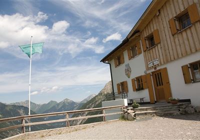
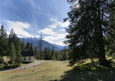
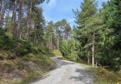
Start your adventure right in the picturesque village of Imsterberg and set off on a wonderful tour to the Venetalm. The trail leads across green meadows and fragrant forests, not technically difficult, but with over 1000 meters of elevation gain and almost 10 kilometers, it is a challenge for basic fitness levels. Enjoy the tranquillity of nature and reward yourself at the Venetalm with a well-earned snack and a magnificent view of the surrounding mountains and valleys.


Further information at: https://www.venetalm.com/

Recommended Equipment

good shoes, enough liquid

Features & Characteristics

Stamina

Skill

Start Point

Municipal office Imsterberg

End Point

Imsterberger Venetalm

Map & Elevation Profile

Similar Tour Suggestions

Imst_Wetterkreuz-1-2.jpg

Easy

Hiking

Section 4: Imst - Tarrenz

Long distance trails

7,10 km

02:30 h

298 hm

252 hm

1063 m

imst_tourismus_bergsteigen_wyhlidal_west_0305.jpg

Medium

Hiking

Alpjoch (No. 28)

Hiking tour

8,80 km

05:00 h

320 hm

835 hm

2339 m

20190811_114250.jpg

Medium

Hiking

Panoramasteig

Hiking tour

7,70 km

03:30 h

502 hm

494 hm

1204 m

DJI_0391.jpg

Medium

Hiking

Seenwanderung

Hiking

Hiking tour

14,00 km

04:00 h

159 hm

160 hm

2018-Wandern-Bergsteigen-Tarrenz-Sinnesbrunn-Alpleskopf-web-©Rudi Wyhlidal (157).jpg

Medium

Hiking

Lehnberghaus

Hiking tour

5,70 km

02:46 h

409 hm

1554 m

img_9853.jpg

Medium

Hiking

Three-huts-tour

Hiking tour

13,20 km

06:00 h

1120 hm

1057 hm

2028 m

Loreahütte.jpg

Medium

Hiking

Loreahütte

Hiking tour

5,80 km

06:00 h

1502 hm

2427 m

imst_tourismus_wandern_wyhlidal_west_0563.jpg

Medium

Hiking

Gafleinhütte

Hiking tour

4,30 km

02:00 h

253 hm

256 hm

1681 m

tirolimster-bergbahnenAlpine Coaster Logoarea47trustyou