Hiking

Medium

Hanauer Hütte

Hiking tour

10,00 km

03:30 h

595 hm

563 hm

1925 m

Information

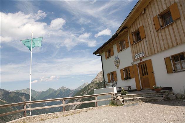
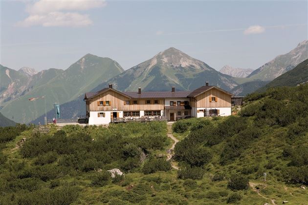
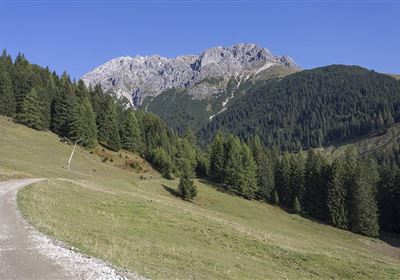
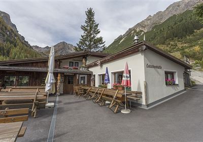
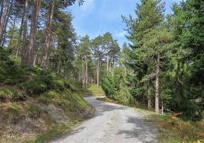
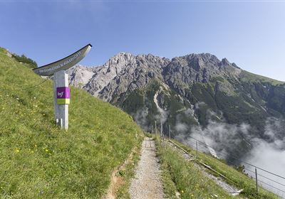
An unforgettable adventure awaits you on the way from Boden to the Hanauer Hütte! At first, the path leads leisurely into the valley, the hut towers majestically before you, ready to enchant you with its beauty. But from the material ropeway, you have to conquer 500 meters of ascent. The reward: a picturesque view of the alpine landscape and the proud peaks all around. An unforgettable experience in the midst of nature!

Recommended Equipment

good shoes, enough to drink

Features & Characteristics

Stamina

Skill

Start Point

Boden

End Point

Hanauer Hütte

Map & Elevation Profile

Similar Tour Suggestions

Karres - Roppen.jpg

Easy

Hiking

Karres - Roppen

Hiking tour

5,50 km

01:40 h

96 hm

225 hm

856 m

imst_tourismus_wandern_wyhlidal_west_0563.jpg

Medium

Hiking

Gafleinhütte

Hiking tour

4,30 km

02:00 h

253 hm

256 hm

1681 m

Loreahütte.jpg

Medium

Hiking

Loreahütte

Hiking tour

5,80 km

06:00 h

1502 hm

2427 m

Wannig.jpg

Hard

Hiking

Wannig

Hiking tour

12,00 km

12:00 h

1715 hm

2493 m

2015-Schwimmen & Tauchen-Starkenberger See-Tarrenz-©Unbekannt (16).jpg

Easy

Hiking

Starkenberger See

Hiking tour

Loop Hike

5,00 km

02:00 h

106 hm

110 hm

900 m

Adlerweg Etappe 19: Hanauer Hütte

Medium

Hiking

Eagle Walk Stage 19: Anhalter Hütte - Hanauer Hütte

Eagle walk

12,30 km

04:00 h

813 hm

941 hm

2188 m

Muthenaualm.JPG

Medium

Hiking

Muthenaualm

Hiking tour

Hut hike

+1

6,80 km

04:20 h

988 hm

85 hm

1783 m

im_huette_anhalter_015.jpg

Medium

Hiking

Anhalter Hütte

Hiking tour

Hut hike

6,00 km

03:00 h

514 hm

515 hm

2195 m

tirolimster-bergbahnenAlpine Coaster Logoarea47trustyou