Hiking

Hard

Wannig

Hiking tour

12,00 km

12:00 h

1715 hm

2493 m

Information

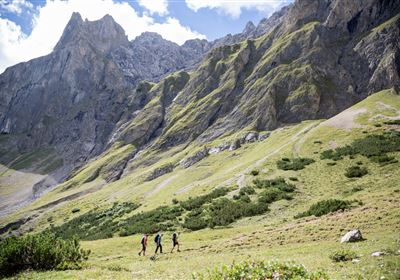
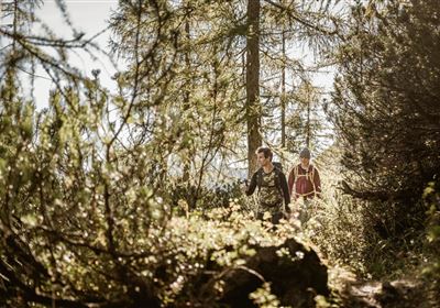
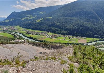
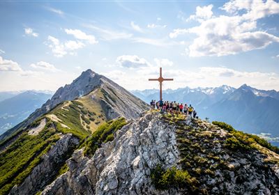
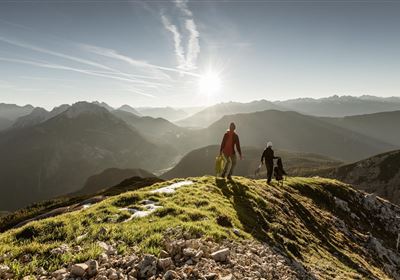
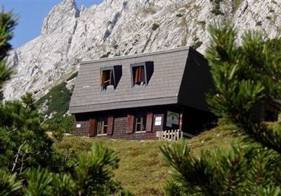
Start this hike at the Nassereith Klettergarten parking lot and head towards Adlerhost, walking across meadows. The trail then leads you into the forest, where the ascent is steep. Despite the effort, you will be rewarded with an impressive view that makes up for the steep climb. Now follow the paths past old mines as you hike steadily uphill. The historical traces tell of the region's mining history. Continue your ascent until you reach the Muthenaualm. You can stay overnight here if you have booked in advance. Enjoy the idyllic alpine surroundings and prepare for the second stage.  The next day you continue the hike, first through dense forest and then in high alpine terrain. The ascent becomes steeper and you gradually reach the challenging terrain. The path leads you to the summit of the Wannig at 2,493 meters above sea level. Please note that the last section requires a head for heights and surefootedness. This section is only suitable for experienced mountain hikers with alpine experience. Now enjoy the breathtaking view from the summit. Take the time for a well-deserved break before you start your descent.

Recommended Equipment

good shoes, enough to drink

Features & Characteristics

Stamina

Skill

Start Point

Nassereith

End Point

Wannig

Map & Elevation Profile

Similar Tour Suggestions

WF_Imst_T20_IMG_02_7860_Durner.jpg

Medium

Hiking

Sinnesjoch (No. 43)

Hiking tour

7,20 km

05:00 h

811 hm

809 hm

2270 m

WF_Imst_T05_IMG_01_5939_Durner.jpg

Easy

Hiking

Salvesenschlucht (No. 16)

Hiking tour

4,30 km

01:45 h

195 hm

988 m

2018-Wandern-Bergsteigen-Tarrenz-Sinnesbrunn-Alpleskopf-web-©Rudi Wyhlidal (135).jpg

Medium

Hiking

Marienbergalm

Hiking tour

10,00 km

04:00 h

497 hm

491 hm

1622 m

Mils_Starkenbach-1.jpg

Medium

Hiking

Section 2a: Kronburg - Imsterberg

Long distance trails

11,20 km

04:00 h

435 hm

489 hm

1189 m

WF_Imst_T15_IMG_01_3285_Plott.jpg

Medium

Hiking

Tarrenz: Obtarrenz - Dollinger - Kropfsee

Hiking tour

11,60 km

04:00 h

301 hm

363 hm

1070 m

WF_Imst_T09_IMG_03_9086_Durner.jpg

Easy

Hiking

Göfelesee - Sießekopf

Hiking tour

5,50 km

02:00 h

165 hm

163 hm

1558 m

Karres - Roppen.jpg

Easy

Hiking

Karres - Roppen

Hiking tour

5,50 km

01:40 h

96 hm

225 hm

856 m

WF_Imst_T04_IMG_01_4884_Durner.jpg

Easy

Hiking

Fabriksteig

Hiking tour

5,70 km

02:00 h

217 hm

962 m

tirolimster-bergbahnenAlpine Coaster Logoarea47trustyou