Hiking

Medium

Alpeskopf (Tarrenton)

Hiking tour

8,00 km

757 hm

2258 m

Information

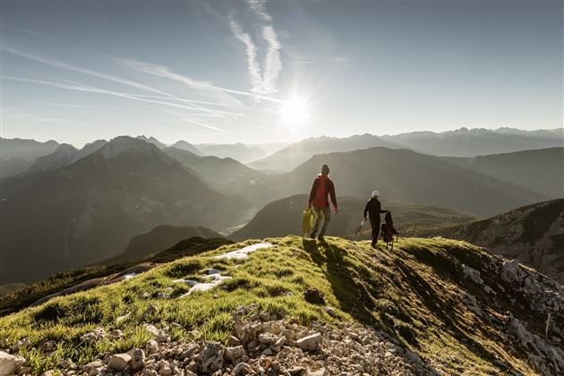
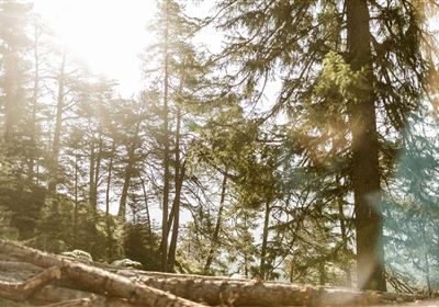
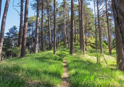
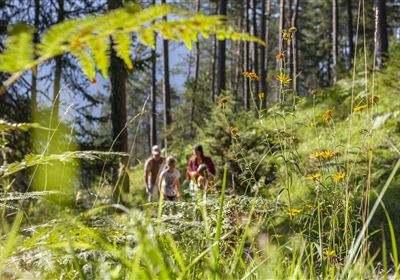
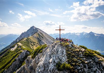
A hike from the Tarrenton Alm to the Alpeskopf promises an unforgettable adventure amidst the majestic Alpine landscape. The trail begins gently, leading across extensive alpine meadows, where the grass rustles softly under your hiking boots and the scent of mountain flowers fills the air. After crossing the alpine meadows, the path dives deeper into the sparse forest. The trees allow the occasional rays of sunlight to shine through, bathing the path in a warm light. The trail continues along fields of mountain pines, where the ground is filled with the scent of resinous mountain wood. The narrow paths wind their way between the gnarled mountain pines, while the mountains rise majestically above the hiker. The air is clear and fresh, and the view sweeps over the rugged peaks looming on the horizon. Finally, you reach the last rugged part of the trail, just below the summit. But the view from up here makes up for all the effort. The view stretches across endless mountain ranges, green valleys and glistening mountain lakes. It is a moment of awe at the beauty of nature and the happiness of being part of this breathtaking panorama.


Recommended Equipment

gutes Schuhwerk, genügend Flüssigkeit

Features & Characteristics

Stamina

Skill

Start Point

Tarrenton Alm

End Point

Alpeskopf

Map & Elevation Profile

Similar Tour Suggestions

DSC_0647.JPG

Medium

Hiking

Milsbergsteig

Hiking tour

6,10 km

334 hm

523 hm

1183 m

WF_Imst_T26_IMG_01_8181_Durner.jpg

Hard

Hiking

Karrösten: Tschirgant Überschreitung

Hiking tour

16,00 km

09:00 h

1388 hm

1384 hm

2362 m

Anhalter Hütte-©Anhalter Hütte (5)-1.jpg

Medium

Hiking

Anhalter Hütte (Plötzig)

Hiking tour

Hut hike

9,50 km

04:00 h

347 hm

890 hm

2198 m

Lochmühle.jpg

Medium

Hiking

Lochmühle

Hiking tour

3,70 km

01:30 h

198 hm

300 hm

1033 m

Kappakreuz.jpg

Medium

Hiking

Kappakreuz

Hiking tour

1,40 km

02:30 h

403 hm

1234 m

fernstein_beisser_hettich_072.jpg

Easy

Hiking

WF_Imst_T11_IMG_01_4754_Durner.jpg

Easy

Hiking

Geo-Lehrpfad – Karröster Alm

Hiking tour

6,40 km

03:00 h

432 hm

426 hm

1468 m

Scharnitzsattel Richtung Imst.JPG

Medium

Hiking

Scharnitzsattel 2.441 hm

Hiking tour

11,10 km

05:45 h

549 hm

1393 hm

2440 m

tirolimster-bergbahnenAlpine Coaster Logoarea47trustyou