Hiking

Easy

Schweintal

Hiking tour

Circular hike

3,00 km

02:00 h

231 hm

156 hm

1022 m

Information

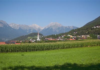
The best place to start is at the tourist office in Imst. From there, you first head into the upper town. A short detour to the parish church is definitely worthwhile - the architecture and history of the church are fascinating.

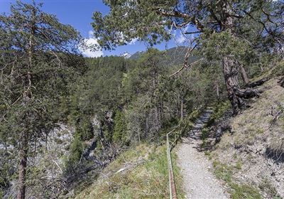
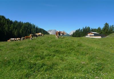
Then it's uphill via Gafialgasse until you reach the lush meadows. The fresh mountain air and green landscape will delight you as you slowly approach the Schweintal valley.

The path becomes a little steeper as you hike up the Schweintal valley.

Eventually you reach the small serpentine path, also known as the Wurzenweg, which leads you back to the town. On this path, you can enjoy the beauty of nature while relaxing on the way back.

Features & Characteristics

Start Point

Imst

End Point

Imst

Circular hike

Yes

Map & Elevation Profile

Similar Tour Suggestions

Hochimst-1-4.jpg

Medium

Hiking

Section 3: Mils - Imst

Long distance trails

10,40 km

04:00 h

463 hm

547 hm

1035 m

Gurgltal.jpg

Easy

Hiking

Gurgltal (No. 21)

Hiking tour

Loop Hike

16,80 km

02:30 h

106 hm

850 m

20220815_134202.jpg

Medium

Hiking

Platteinwiese (Narrenkreuz)

Hiking tour

3,00 km

02:20 h

393 hm

2000 m

2000px-muszla_jakuba.svg.png

Easy

Hiking

Jakobsweg - connection Stams - Nassereith

Long distance trails

17,90 km

05:30 h

527 hm

343 hm

1149 m

Eagle Walk Stage: 19

Medium

Hiking

Eagle Walk Stage 19: Anhalter Hütte - Hanauer Hütte

Eagle walk

12,30 km

04:00 h

813 hm

941 hm

2188 m

Kronburg-1-2.jpg

Easy

Hiking

Kronburger Tobl (Nr. 87)

Hiking tour

2,50 km

01:00 h

122 hm

152 hm

1057 m

WF_Imst_T08_IMG_01_5808_Plott.jpg

Easy

Hiking

Starkenberger See

Hiking tour

6,50 km

02:10 h

217 hm

212 hm

1005 m

Kappakreuz.jpg

Medium

Hiking

Kappakreuz

Hiking tour

1,40 km

02:30 h

403 hm

1234 m

tirolimster-bergbahnenAlpine Coaster Logoarea47trustyou