Hiking

Easy

Fernsteinsee - Nassereith

Hiking tour

Family hike

+1

12,70 km

03:30 h

140 hm

138 hm

952 m

Information

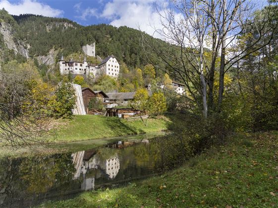
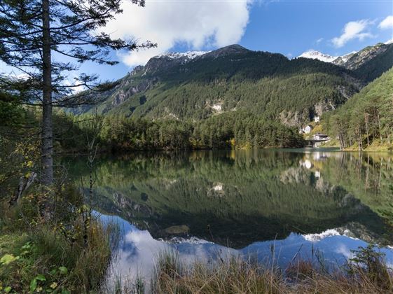
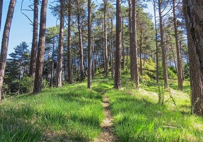
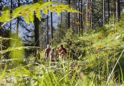
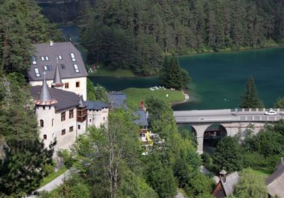
The hike begins at the small, picturesque Nassereither See lake. Enjoy the idyllic surroundings before setting off. Follow in the footsteps of pilgrims on the Way of St. James and the ancient Roman road Via Claudia Augusta. These historic paths lead you through varied landscapes and offer insights into the history of the region. Hike on towards Fernsteinsee, accompanied by the impressive natural surroundings. The paths lead you through forests, across meadows and along picturesque viewpoints. After a long but rewarding hike, you will reach the romantic Fernsteinsee lake. Enjoy the tranquil atmosphere and take a walk around the lake to experience the beauty of the water. The way back takes you through the settlement of St. Wendelin and Brunnwald. Follow the marked paths and trails to return safely to Nassereith. Along the way, you can enjoy the scenery to the full and take advantage of rest areas to relax and admire the surroundings. The hike finally ends back at the starting point, the small Nassereither See lake. Here you have the opportunity to relax and reflect on the impressions of your hike.

Recommended Equipment

good shoes, enough liquid

Features & Characteristics

Stamina

Skill

Start Point

Postplatz Nassereith

End Point

Postplatz Nassereith

Family hike

Yes

Circular hike

Yes

Map & Elevation Profile

Similar Tour Suggestions

Eagle Walk Stage: 20

Hard

Hiking

Eagle Walk Stage 20: Hanauer Hütte - Württemberger Haus

Eagle walk

11,00 km

07:00 h

1240 hm

930 hm

2480 m

WF_Imst_T11_IMG_01_4754_Durner.jpg

Easy

Hiking

Geo-Lehrpfad – Karröster Alm

Hiking tour

6,40 km

03:00 h

432 hm

426 hm

1468 m

starkenberger_panoramaweg_etappe_4 (7).jpg

Medium

Hiking

Starkenberger Panoramic Route (total)

Long distance trails

69,80 km

24:00 h

2697 hm

2572 hm

1519 m

20230629_162959.jpg

Easy

Hiking

Jägersteig

Hiking tour

3,00 km

01:15 h

137 hm

WF_Imst_T17_IMG_01_7248_Durner.jpg

Medium

Hiking

Anhalter Hütter - Tschachaun

Hiking tour

Hut hike

+1

9,60 km

06:00 h

829 hm

837 hm

2327 m

heiterwandhuette.jpeg

Medium

Hiking

Heiterwandhütte

Hiking tour

8,00 km

05:00 h

1133 hm

127 hm

2003 m

Wannig.jpg

Hard

Hiking

Wannig

Hiking tour

12,00 km

12:00 h

1715 hm

2493 m

2018-Wandern-Bergsteigen-Tarrenz-Sinnesbrunn-Alpleskopf-web-©Rudi Wyhlidal (97).jpg

Hard

Hiking

Namlose Wetterspitze

Hiking

Hiking tour

15,00 km

09:00 h

1621 hm

1077 hm

tirolimster-bergbahnenAlpine Coaster Logoarea47trustyou