Hiking

Medium

Marienbergalm

Hiking tour

10,00 km

04:00 h

497 hm

491 hm

1622 m

Information

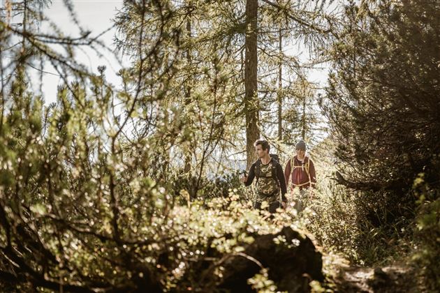
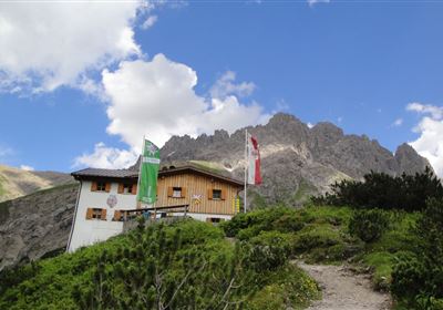
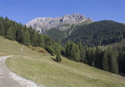
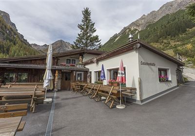
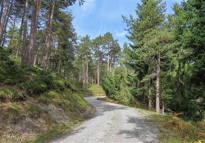
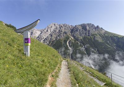
The hike from Arzkasten to Marienbergalm offers a varied route through the picturesque landscape. Starting in Arzkasten, the path is initially flat, but then becomes narrower and steeper. You hike through dense forests, cross small streams and finally reach the open alpine meadows, which offer an impressive view of the surrounding area. At the destination, the Marienbergalm, you can take a well-deserved rest and enjoy the Alpine idyll. For the way back, we recommend the wider and gentler forest path, which gently takes you back to Arzkasten. This route is ideal for experiencing the diversity of the Alpine landscape in a relaxed manner.


Features & Characteristics

Stamina

Skill

Start Point

Arzkasten

End Point

Arzkasten

Map & Elevation Profile

Similar Tour Suggestions

Imst_Wetterkreuz-1-2.jpg

Easy

Hiking

Section 4: Imst - Tarrenz

Long distance trails

7,10 km

02:30 h

298 hm

252 hm

1063 m

imst_tourismus_bergsteigen_wyhlidal_west_0305.jpg

Medium

Hiking

Alpjoch (No. 28)

Hiking tour

8,80 km

05:00 h

320 hm

835 hm

2339 m

20190811_114250.jpg

Medium

Hiking

Panoramasteig

Hiking tour

7,70 km

03:30 h

502 hm

494 hm

1204 m

DJI_0391.jpg

Medium

Hiking

Seenwanderung

Hiking

Hiking tour

14,00 km

04:00 h

159 hm

160 hm

2018-Wandern-Bergsteigen-Tarrenz-Sinnesbrunn-Alpleskopf-web-©Rudi Wyhlidal (157).jpg

Medium

Hiking

Lehnberghaus

Hiking tour

5,70 km

02:46 h

409 hm

1554 m

img_9853.jpg

Medium

Hiking

Three-huts-tour

Hiking tour

13,20 km

06:00 h

1120 hm

1057 hm

2028 m

Loreahütte.jpg

Medium

Hiking

Loreahütte

Hiking tour

5,80 km

06:00 h

1502 hm

2427 m

imst_tourismus_wandern_wyhlidal_west_0563.jpg

Medium

Hiking

Gafleinhütte

Hiking tour

4,30 km

02:00 h

253 hm

256 hm

1681 m

tirolimster-bergbahnenAlpine Coaster Logoarea47trustyou