Hiking

Medium

Eagle Walk Stage 17: Ehrwald - Lorea Hütte

Eagle walk

Multi-Day Tour Feature: Etappe

19,00 km

05:30 h

1170 hm

1190 hm

2022 m

Best Time of Year

Jan

Feb

Mar

Apr

May

Jun

Jul

Aug

Sep

Oct

Nov

Dec

Information

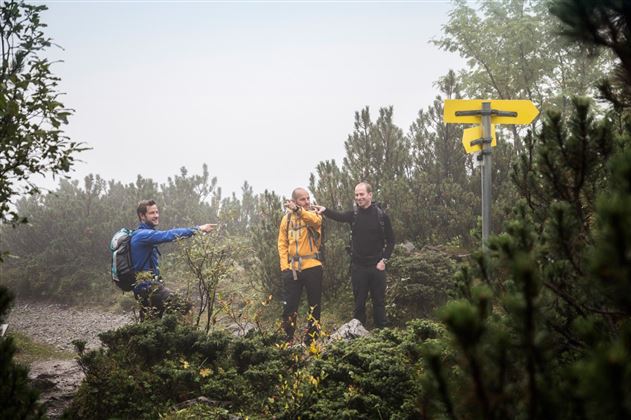
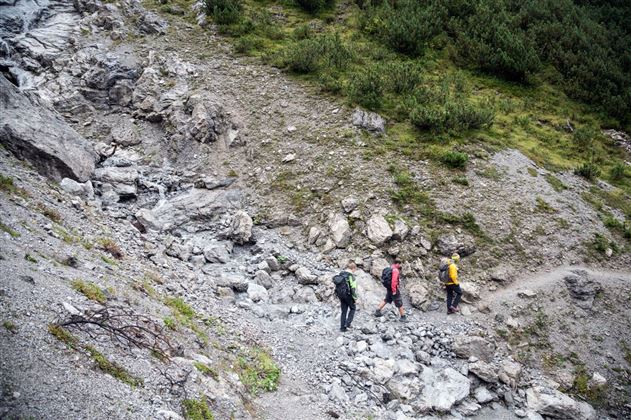
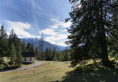
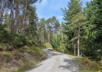
​​trail description: Trailhead is at Ehrwald between “Grüner Baum” Hotel and Sparmarkt super market: Follow  the level, signed (“Moosweg nach Lermoos”) track and walk from Moosbrücke Bridge across Loisach River to the entrance of the village of Lermoos, either on the left or right side of Lussbach Creek. Walk through the village until you reach the base of Grubigstein Gondola. Ride the gondola to Grubigalm Alpine Pasture Hut (elev. 1,720m). Beyond the base of the 6-passenger chair lift, take footpath No. 15 and walk up to an elevation of around 1,750 metres above sea level on a path with easy ups and downs. Then, walk down on a broad footpath through the forest. Now, the route enters thick stands of dwarf pines, offering occasional views of the Blindsee Lake, an aquatic jewel. Some parts of the descent are rather steep. Eventually, the trail breaks into the woods again and emerges onto a forest road which you walk further down. The route continues to Fern Pass Federal Road (“Fernpassbundesstrasse”). Walk next to the road for about 5 minutes, heading to the right towards Fern Pass. North of Fernpass Inn, gently descend on the Roman Road (“Nassereith”, “Via Claudia Augusta”). Bear right at the fork and thereafter descend on the left, heading towards Fernstein and Nassereith, crossing a scree slope. A short distance ahead, you will pass Schanzlsee Lake. Stay on the route for cyclists and walkers after the lake. The Old Roman Road (a short portion of it is a singletrack trail) gently rolls down to Fernstein Castle and Fernstein Castle Hotel.

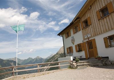
Continue your descent from Fernstein Castle on the Old Roman Road. After a few metres, the singletrack trail to Lorea Hut branches off to the right into the woods. The route steeply zigzags up through forest right next to a stream. When you break into high meadows and dwarf pine fields, the steep grade lessens. A gentle final climb brings you to Lorea Hut (elev. 2,022m), a cosy self-catering hut nestled southeast of Lorea Peak.

Features & Characteristics

Stamina

Skill

Start Point

Ehrwald

End Point

Lorea Hütte

Multi-Day Tour Feature

Etappe

Map & Elevation Profile

Similar Tour Suggestions

Hochimst-1-4.jpg

Medium

Hiking

Section 3: Mils - Imst

Long distance trails

10,40 km

04:00 h

463 hm

547 hm

1035 m

Gurgltal.jpg

Easy

Hiking

Gurgltal (No. 21)

Hiking tour

Loop Hike

16,80 km

02:30 h

106 hm

850 m

20220815_134202.jpg

Medium

Hiking

Platteinwiese (Narrenkreuz)

Hiking tour

3,00 km

02:20 h

393 hm

2000 m

2000px-muszla_jakuba.svg.png

Easy

Hiking

Jakobsweg - connection Stams - Nassereith

Long distance trails

17,90 km

05:30 h

527 hm

343 hm

1149 m

Eagle Walk Stage: 19

Medium

Hiking

Eagle Walk Stage 19: Anhalter Hütte - Hanauer Hütte

Eagle walk

12,30 km

04:00 h

813 hm

941 hm

2188 m

Kronburg-1-2.jpg

Easy

Hiking

Kronburger Tobl (Nr. 87)

Hiking tour

2,50 km

01:00 h

122 hm

152 hm

1057 m

WF_Imst_T08_IMG_01_5808_Plott.jpg

Easy

Hiking

Starkenberger See

Hiking tour

6,50 km

02:10 h

217 hm

212 hm

1005 m

Kappakreuz.jpg

Medium

Hiking

Kappakreuz

Hiking tour

1,40 km

02:30 h

403 hm

1234 m

tirolimster-bergbahnenAlpine Coaster Logoarea47trustyou