Hiking

Medium

Jakobsweg - connection Nassereith - Lermoos

Long distance trails

18,50 km

05:30 h

523 hm

364 hm

1239 m

Information

Starting point: Roppen: on the left bank of the Inn
Length: 25.4 km - Time required: 7:30
Altitude ascent: 476m - altitude descent: 429m
Max. Height: 931 m.ü.M.

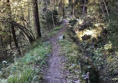
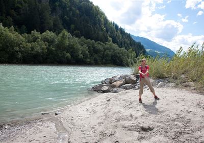
From the direction of Haiming on the right side of the Inn - hiking trail on Inn (Inntalradweg) - «Römerbadl» Kneippanlage - Burschlkapelle - right underpass federal road 171 - rise Trankhütte - through the forest to Karres - past the sports field - Karres St. Stephen Church - after the municipal office turn right after Karrösten - turn off the VARIANT to Imst - Karröster road down to the Royal Chapel - south over the Inn bridge - keep right - past the substation power station to the train station Imster Au - left next to the railway line to the trunk stream - Ried - Schönwies - above Schönwies im Obsaurs district is the St. Vigil Chapel - continue towards Kronburg after about 1 hour you reach the ruin Kronburg.

Further information and details can be found at http://www.jakobsweg-tirol.net/

Features & Characteristics

Start Point

Nassereith

End Point

Lermoos

Map & Elevation Profile

Similar Tour Suggestions

Imst_Wetterkreuz-1-2.jpg

Easy

Hiking

Section 4: Imst - Tarrenz

Long distance trails

7,10 km

02:30 h

298 hm

252 hm

1063 m

imst_tourismus_bergsteigen_wyhlidal_west_0305.jpg

Medium

Hiking

Alpjoch (No. 28)

Hiking tour

8,80 km

05:00 h

320 hm

835 hm

2339 m

20190811_114250.jpg

Medium

Hiking

Panoramasteig

Hiking tour

7,70 km

03:30 h

502 hm

494 hm

1204 m

DJI_0391.jpg

Medium

Hiking

Seenwanderung

Hiking

Hiking tour

14,00 km

04:00 h

159 hm

160 hm

2018-Wandern-Bergsteigen-Tarrenz-Sinnesbrunn-Alpleskopf-web-©Rudi Wyhlidal (157).jpg

Medium

Hiking

Lehnberghaus

Hiking tour

5,70 km

02:46 h

409 hm

1554 m

img_9853.jpg

Medium

Hiking

Three-huts-tour

Hiking tour

13,20 km

06:00 h

1120 hm

1057 hm

2028 m

Loreahütte.jpg

Medium

Hiking

Loreahütte

Hiking tour

5,80 km

06:00 h

1502 hm

2427 m

imst_tourismus_wandern_wyhlidal_west_0563.jpg

Medium

Hiking

Gafleinhütte

Hiking tour

4,30 km

02:00 h

253 hm

256 hm

1681 m

tirolimster-bergbahnenAlpine Coaster Logoarea47trustyou