Hiking

Medium

Alpleskopf

Hiking tour

Circular hike

10,90 km

05:30 h

833 hm

2229 m

Information

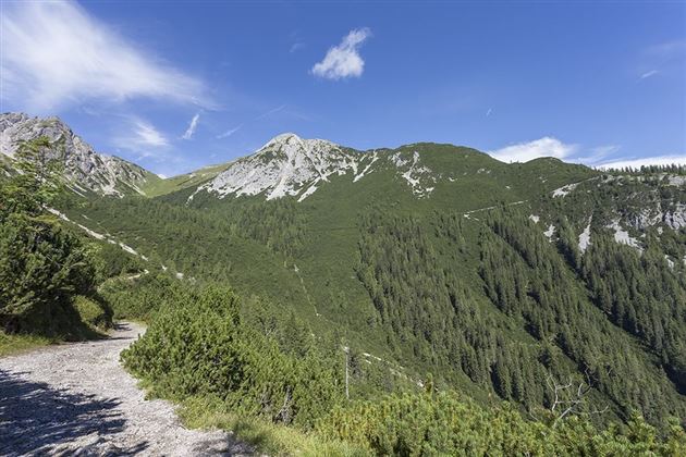
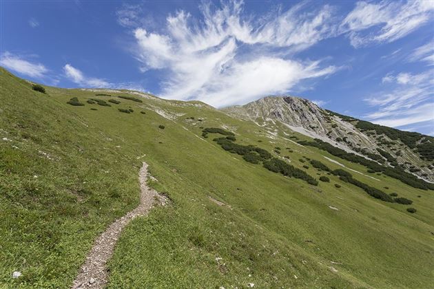
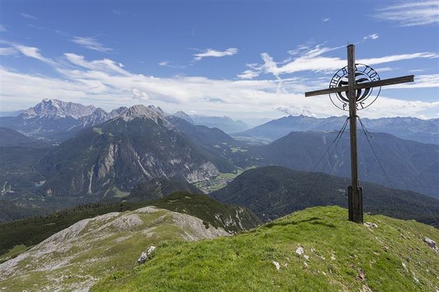
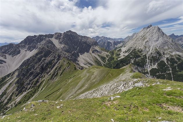
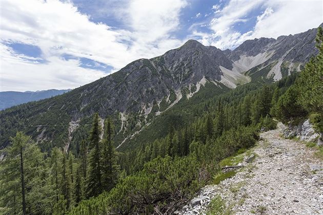
The summit tour to the Alpleskopf begins at the Sinnesbrunn parking lot and promises an unforgettable experience in the midst of nature. The trail first leads gently uphill to the small Sinnesbrunn pilgrimage chapel, which offers a wonderful place for a contemplative start. The path leads through a varied landscape, accompanied by trees, small clearings and babbling brooks, to the Sinnesgatter. Here, an impressive view of the majestic Zugspitze opens up, making the heart of every nature lover beat faster. Continue straight ahead to the small turn-off towards Alpleskopf. After a short time, you reach a beautiful mountain meadow that adorns the path up to the Reisenschuhjoch. Here you can already enjoy an impressive view of the majestic Heiterwand, which underlines the beauty of the alpine landscape. From the Reisenschuhjoch, follow the ridge to the summit of the Alpleskopf. The ascent is rewarded by a fantastic view that lets your gaze wander over the surrounding peaks and valleys. The Alpleskopf reveals itself as the perfect vantage point, rewarding hikers with an incomparable panoramic view - a summit experience to remember.

Recommended Equipment

good shoes, enough liquid

Features & Characteristics

Stamina

Skill

Start Point

Sinnesbrunn

End Point

Alpleskopf

Circular hike

Yes

Map & Elevation Profile

Similar Tour Suggestions

DSC_0647.JPG

Medium

Hiking

Milsbergsteig

Hiking tour

6,10 km

334 hm

523 hm

1183 m

WF_Imst_T26_IMG_01_8181_Durner.jpg

Hard

Hiking

Karrösten: Tschirgant Überschreitung

Hiking tour

16,00 km

09:00 h

1388 hm

1384 hm

2362 m

Anhalter Hütte-©Anhalter Hütte (5)-1.jpg

Medium

Hiking

Anhalter Hütte (Plötzig)

Hiking tour

Hut hike

9,50 km

04:00 h

347 hm

890 hm

2198 m

Lochmühle.jpg

Medium

Hiking

Lochmühle

Hiking tour

3,70 km

01:30 h

198 hm

300 hm

1033 m

Kappakreuz.jpg

Medium

Hiking

Kappakreuz

Hiking tour

1,40 km

02:30 h

403 hm

1234 m

fernstein_beisser_hettich_072.jpg

Easy

Hiking

WF_Imst_T11_IMG_01_4754_Durner.jpg

Easy

Hiking

Geo-Lehrpfad – Karröster Alm

Hiking tour

6,40 km

03:00 h

432 hm

426 hm

1468 m

Scharnitzsattel Richtung Imst.JPG

Medium

Hiking

Scharnitzsattel 2.441 hm

Hiking tour

11,10 km

05:45 h

549 hm

1393 hm

2440 m

tirolimster-bergbahnenAlpine Coaster Logoarea47trustyou