Hiking

Medium

Hölltörl

Hiking

Hiking tour

+2

14,00 km

06:30 h

989 hm

Information

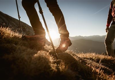
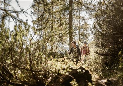
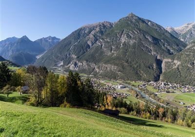
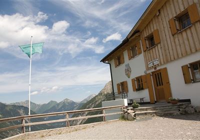
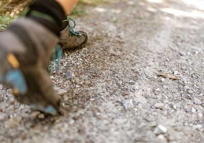
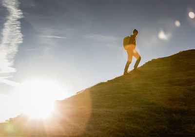
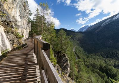
Your tour conveniently starts at the parking lot at the Arzkasten above Obsteig. A beautiful forest surrounds you from here. You follow the well-maintained trail toward the Lehnberghaus. The path climbs gently through the forest, past small clearings. After about 45 minutes, you reach the Lehnberghaus (1,602 m), which is ideal for a first drink break. From the Lehnberghaus, you continue downhill into the valley, accompanied by gnarled mountain pine fields and an alpine atmosphere. The path leads into the so-called Hölltal, an impressive cirque between the Mieming Mountains, both tranquil and wild. You will soon reach a fork in the path. Here, turn left – from now on, things get more challenging! The following section is the most demanding part of the tour: The path climbs significantly steeper and runs along a gravelly, winding path through the cirque. The ground is slippery and requires surefootedness, especially in the upper section. The final section before the Hölltörl (2,127 m) is a bit steeper, but well-marked. Once at the top, you'll be rewarded with a magnificent view of the Marienberg Valley! From the Hölltörl, the descent becomes much more leisurely. The trail winds through mountain pine fields down to the Marienbergjoch, a small depression below the Handschuhspitze. From here, the trail continues across blooming alpine meadows to the Marienbergalm (1,622 m). This is a perfect place to stop for a break with a view—a wonderful place to linger, especially in summer. After the rest, follow the well-maintained, gently sloping forest road back toward Arzkasten. The return journey leads mostly through shady forest and is pleasant—a relaxing way to end the varied tour.

Recommended Equipment

Ankle-high mountain boots, sun and weather protection, sufficient water, ideally hiking poles

Features & Characteristics

Stamina

Skill

Start Point

Arzkasten

End Point

Arzkasten

Circular hike

Yes

Map & Elevation Profile

Similar Tour Suggestions

Fernpass-1.jpg

Easy

Hiking

Section 7: Fernpass - Ehrwald

Long distance trails

13,80 km

02:30 h

499 hm

260 hm

1261 m

Falterstein - Kronburg.jpg

Easy

Hiking

Falterstein / Kronburg

Hiking tour

10,00 km

03:00 h

115 hm

112 hm

1294 m

24h-trophy-2023-imst-web-20-1.jpg

Hard

Hiking

12H Hiking Challenge 2026

Hiking

21,00 km

1590 hm

1578 hm

2300 m

2018-Wandern-Panoramawandern-Hoch-Imst-Sunorama-©Rudi Wyhlidal (11).jpg

Medium

Hiking

SunOrama

Hiking tour

3,00 km

02:00 h

511 hm

2000 m

Lochmühle.jpg

Medium

Hiking

Lochmühle

Hiking tour

3,70 km

01:30 h

198 hm

300 hm

1033 m

2018-Wandern-Bergsteigen-Tarrenz-Sinnesbrunn-Alpleskopf-web-©Rudi Wyhlidal (135).jpg

Medium

Hiking

Marienbergalm

Hiking tour

10,00 km

04:00 h

497 hm

491 hm

1622 m

Simmeringalm.jpg

Medium

Hiking

Simmeringalm

Hiking tour

9,50 km

04:30 h

1058 hm

1814 m

Muthenaualm.JPG

Medium

Hiking

Muthenaualm

Hiking tour

Hut hike

+1

6,80 km

04:20 h

988 hm

85 hm

1783 m

tirolimster-bergbahnenAlpine Coaster Logoarea47trustyou