Hiking

Easy

Section 6: Nassereith - Fernpass

Long distance trails

8,60 km

03:00 h

375 hm

1212 m

Best Time of Year

Jan

Feb

Mar

Apr

May

Jun

Jul

Aug

Sep

Oct

Nov

Dec

Information

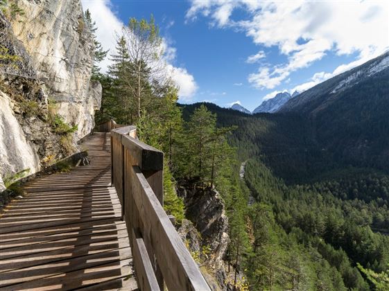
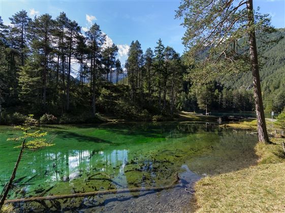
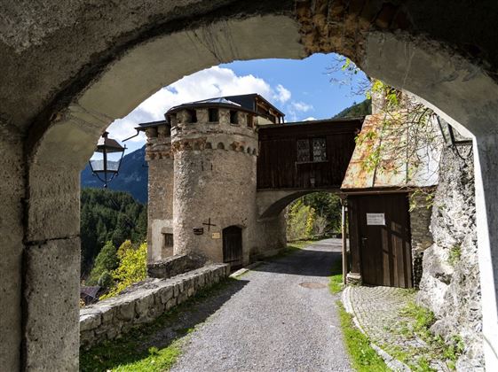
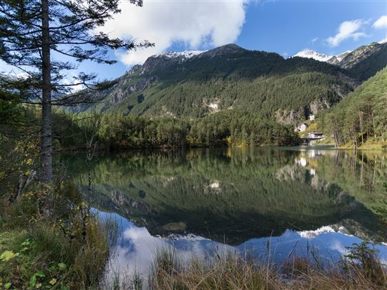
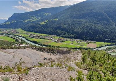
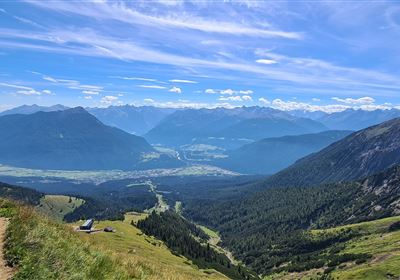
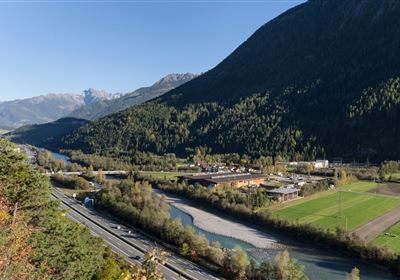
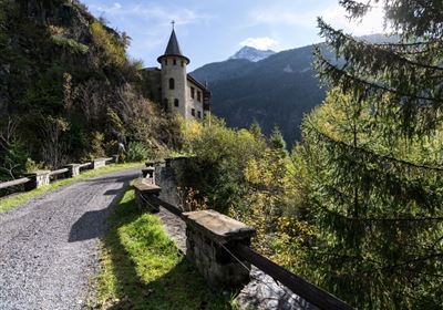
The trail leads you past Lake Nassereith through flowering meadows and forests through the old archway to Fernsteinsee Castle. From there you have an excellent view of the turquoise-coloured Fernsteinsee lake. Now the trail follows the historic paths of the Via Claudia Augusta to the Fernpass at 1,216 metres above sea level.

Features & Characteristics

Stamina

Skill

Start Point

Nassereith Postplatz

End Point

Fernpass

Map & Elevation Profile

Similar Tour Suggestions

DSC_0647.JPG

Medium

Hiking

Milsbergsteig

Hiking tour

6,10 km

334 hm

523 hm

1183 m

WF_Imst_T26_IMG_01_8181_Durner.jpg

Hard

Hiking

Karrösten: Tschirgant Überschreitung

Hiking tour

16,00 km

09:00 h

1388 hm

1384 hm

2362 m

Anhalter Hütte-©Anhalter Hütte (5)-1.jpg

Medium

Hiking

Anhalter Hütte (Plötzig)

Hiking tour

Hut hike

9,50 km

04:00 h

347 hm

890 hm

2198 m

Lochmühle.jpg

Medium

Hiking

Lochmühle

Hiking tour

3,70 km

01:30 h

198 hm

300 hm

1033 m

Kappakreuz.jpg

Medium

Hiking

Kappakreuz

Hiking tour

1,40 km

02:30 h

403 hm

1234 m

fernstein_beisser_hettich_072.jpg

Easy

Hiking

WF_Imst_T11_IMG_01_4754_Durner.jpg

Easy

Hiking

Geo-Lehrpfad – Karröster Alm

Hiking tour

6,40 km

03:00 h

432 hm

426 hm

1468 m

Scharnitzsattel Richtung Imst.JPG

Medium

Hiking

Scharnitzsattel 2.441 hm

Hiking tour

11,10 km

05:45 h

549 hm

1393 hm

2440 m

tirolimster-bergbahnenAlpine Coaster Logoarea47trustyou