Hiking

Medium

Three-huts-tour

Hiking tour

Loop Hike

+1

13,20 km

06:00 h

1120 hm

1057 hm

2028 m

Information

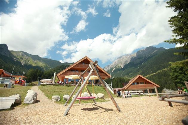
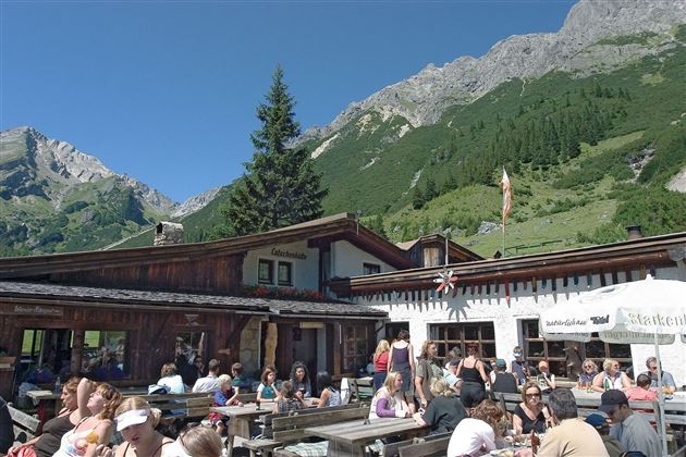
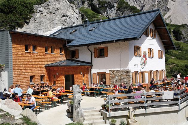
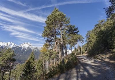
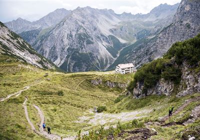
The cable cars in Hoch Imst serve as the starting point for this adventure. Here you have the choice: take the gondola up to the Alpjoch in comfort and enjoy the fantastic view or opt for the sporty ascent on foot. The hike starts from the Alpjoch via the Drischelsteig trail. Although this path is well secured, it is not suitable for people with a fear of heights or weak nerves. However, the narrow, quite exposed path rewards you with magnificent views. The Muttekopfhütte, the first stage destination, is on the way and promises a well-earned rest. From the Muttekopfhütte, you have a view of the next destination, the Latschenhütte. The descent now leads over hill and dale and lush alpine meadows to the Latschenhütte. The way back leads along the mystical Jägersteig trail. The silence of the forest and the mysterious atmosphere of the path make this section a special experience. At the end of the Jägersteig is the U-Alm, where the hike starts.

Recommended Equipment

good shoes, enough liquid

Features & Characteristics

Stamina

Skill

Start Point

Hoch-Imst

End Point

Hoch-Imst

Circular hike

Yes

Map & Elevation Profile

Similar Tour Suggestions

Eagle Walk Stage: 20

Hard

Hiking

Eagle Walk Stage 20: Hanauer Hütte - Württemberger Haus

Eagle walk

11,00 km

07:00 h

1240 hm

930 hm

2480 m

WF_Imst_T11_IMG_01_4754_Durner.jpg

Easy

Hiking

Geo-Lehrpfad – Karröster Alm

Hiking tour

6,40 km

03:00 h

432 hm

426 hm

1468 m

starkenberger_panoramaweg_etappe_4 (7).jpg

Medium

Hiking

Starkenberger Panoramic Route (total)

Long distance trails

69,80 km

24:00 h

2697 hm

2572 hm

1519 m

20230629_162959.jpg

Easy

Hiking

Jägersteig

Hiking tour

3,00 km

01:15 h

137 hm

WF_Imst_T17_IMG_01_7248_Durner.jpg

Medium

Hiking

Anhalter Hütter - Tschachaun

Hiking tour

Hut hike

+1

9,60 km

06:00 h

829 hm

837 hm

2327 m

heiterwandhuette.jpeg

Medium

Hiking

Heiterwandhütte

Hiking tour

8,00 km

05:00 h

1133 hm

127 hm

2003 m

Wannig.jpg

Hard

Hiking

Wannig

Hiking tour

12,00 km

12:00 h

1715 hm

2493 m

2018-Wandern-Bergsteigen-Tarrenz-Sinnesbrunn-Alpleskopf-web-©Rudi Wyhlidal (97).jpg

Hard

Hiking

Namlose Wetterspitze

Hiking

Hiking tour

15,00 km

09:00 h

1621 hm

1077 hm

tirolimster-bergbahnenAlpine Coaster Logoarea47trustyou