Hiking

Easy

Prantlsteig (No. 4)

Hiking tour

Circular hike

5,40 km

02:00 h

131 hm

121 hm

912 m

Information

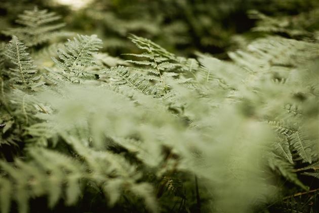
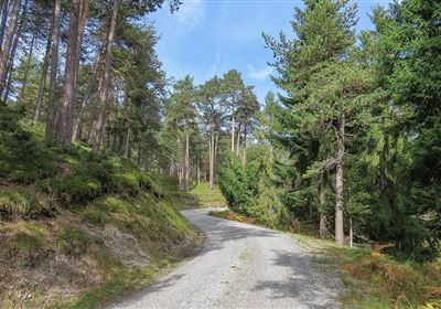
So, if you decide to take the Prantlsteig trail, the best place to start is at the tourist information office in Imst. From there, you first head to the upper town. This tour is really varied and has a lot to offer. First, you walk through a beautiful part of the forest, which will inspire you with its tranquillity and natural beauty. The green trees and the chirping of the birds make the hike a real experience.

Further along the path, you will be lined by old chestnut trees, which give the path a special atmosphere. It almost feels as if they are accompanying you on your journey. Finally, you reach Starkenberg Castle. Here you can take a short break to enjoy the view and perhaps learn something about the history of the region. And best of all, you can even enjoy a home-brewed beer at Starkenberg Castle and experience the hospitality of the region.

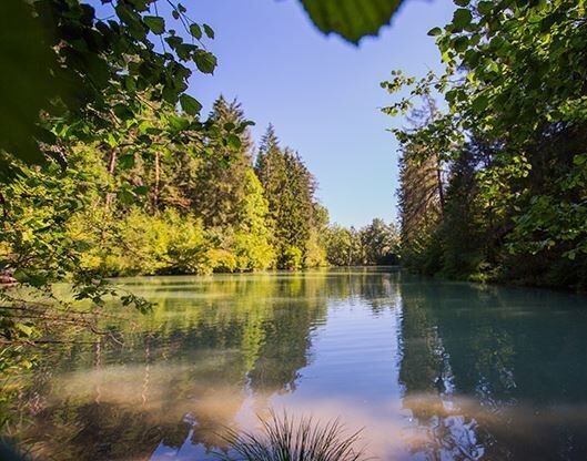
The wild and romantic Lake Starkenberg is a great place to return to. The water and surrounding nature provide a picturesque backdrop for your hike back to the upper town. The lake exudes a certain tranquillity and invites you to pause for a moment and enjoy the beauty of nature.

Recommended Equipment

good shoes, enough to drink

Features & Characteristics

Start Point

Imst

End Point

Castle Starkenberg

Circular hike

Yes

Map & Elevation Profile

Similar Tour Suggestions

Eagle Walk Stage: 20

Hard

Hiking

Eagle Walk Stage 20: Hanauer Hütte - Württemberger Haus

Eagle walk

11,00 km

07:00 h

1240 hm

930 hm

2480 m

WF_Imst_T11_IMG_01_4754_Durner.jpg

Easy

Hiking

Geo-Lehrpfad – Karröster Alm

Hiking tour

6,40 km

03:00 h

432 hm

426 hm

1468 m

starkenberger_panoramaweg_etappe_4 (7).jpg

Medium

Hiking

Starkenberger Panoramic Route (total)

Long distance trails

69,80 km

24:00 h

2697 hm

2572 hm

1519 m

20230629_162959.jpg

Easy

Hiking

Jägersteig

Hiking tour

3,00 km

01:15 h

137 hm

WF_Imst_T17_IMG_01_7248_Durner.jpg

Medium

Hiking

Anhalter Hütter - Tschachaun

Hiking tour

Hut hike

+1

9,60 km

06:00 h

829 hm

837 hm

2327 m

heiterwandhuette.jpeg

Medium

Hiking

Heiterwandhütte

Hiking tour

8,00 km

05:00 h

1133 hm

127 hm

2003 m

Wannig.jpg

Hard

Hiking

Wannig

Hiking tour

12,00 km

12:00 h

1715 hm

2493 m

2018-Wandern-Bergsteigen-Tarrenz-Sinnesbrunn-Alpleskopf-web-©Rudi Wyhlidal (97).jpg

Hard

Hiking

Namlose Wetterspitze

Hiking

Hiking tour

15,00 km

09:00 h

1621 hm

1077 hm

tirolimster-bergbahnenAlpine Coaster Logoarea47trustyou