Hiking

Easy

Sinnesbrunn

Hiking tour

10,00 km

04:00 h

515 hm

518 hm

1527 m

Information

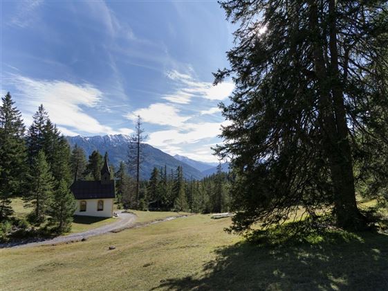
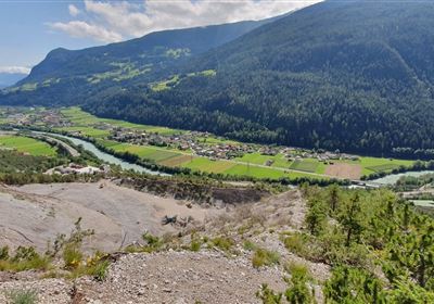
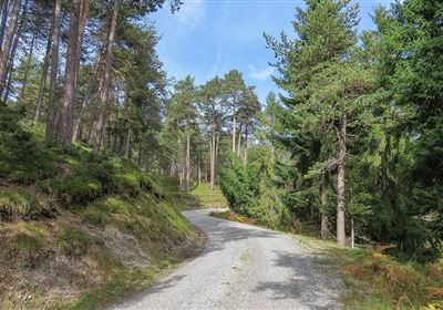
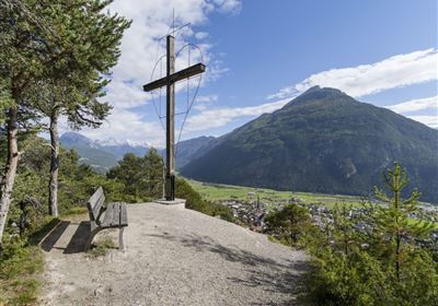
To warm up, we start the trail comfortably on a small forest road along the Starkenbergerpanoramaweg. At the small Sinnes Waldrast snack station, the trail continues uphill lined with small sacrificial sticks. The path leads you through a sparse pine forest and creates a peaceful atmosphere. The ascent is rewarded from time to time with a wonderful view of the valley and the surrounding mountains. The trail continues past a small stream until you reach your destination, the small Sinnesbrunn pilgrimage chapel. This idyllic spot and the lovely chapel invite you to take a short break. A unique experience awaits you when you ring the bell at the chapel. This custom not only serves spiritual purposes, but also serves as an announcement for your return journey. The gentle tinkling of the bell adds an extra magical touch to the hike.

Recommended Equipment

good shoes, enough to drink

Features & Characteristics

Stamina

Skill

Start Point

Obtarrenz

End Point

Sinnesbrunn

Map & Elevation Profile

Similar Tour Suggestions

2010-Wandern-Hütten und Almen-Muthenau Alm-©Unbekannt (6).JPG

Medium

Hiking

Biberwier

Hiking tour

5,00 km

02:00 h

300 hm

251 hm

1789 m

2000px-Muszla_Jakuba.svg.png

Medium

Hiking

Jakobsweg - connection Nassereith - Lermoos

Long distance trails

18,50 km

05:30 h

523 hm

364 hm

1239 m

24h-trophy-2023-imst-web-20-1.jpg

Hard

Hiking

12H Hiking Challenge 2026

Hiking

21,00 km

1590 hm

1578 hm

2300 m

Fernsteinsee-1.jpg

Easy

Hiking

Rundwanderweg Fernsteinsee

Hiking tour

12,10 km

04:00 h

157 hm

152 hm

alm08.JPG

Medium

Hiking

Tarrenton Alm

Hiking tour

22,00 km

07:30 h

779 hm

777 hm

1577 m

im_huetten_hanauer_015.jpg

Medium

Hiking

Hanauer Hütte

Hiking tour

10,00 km

03:30 h

595 hm

563 hm

1925 m

Obtarrenz_Salvesen-1.jpg

Medium

Hiking

Section 5: Tarrenz - Nassereith

Long distance trails

15,50 km

05:30 h

840 hm

828 hm

1519 m

im_huetten_karreralm_004.jpg

Medium

Hiking

Karrer Alm / Tschirgant

Hiking tour

Summit tour

17,00 km

07:00 h

1553 hm

1521 hm

2254 m

tirolimster-bergbahnenAlpine Coaster Logoarea47trustyou