Hiking

Medium

Gafleinhütte

Hiking tour

Circular hike

4,30 km

02:00 h

253 hm

256 hm

1681 m

Information

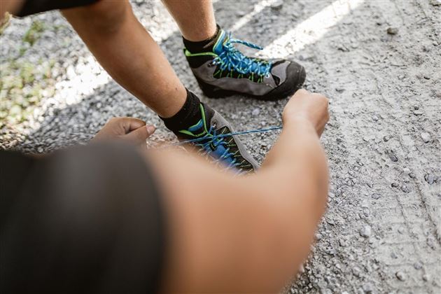
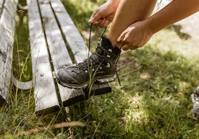
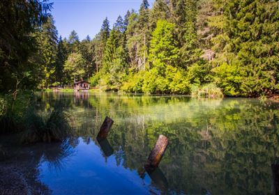
The journey begins at the Sinnesbrunn parking lot, a convenient starting point for this eventful hike. Once you have laced up your hiking boots, you are ready to set off. The path first leads to the small pilgrimage church of Sinnesbrunn. This spiritual jewel not only offers a moment of silence, but also a wonderful view of the surrounding nature. After the chapel, the path leads through sparse forest to the sensory gate. Along the way, you have the opportunity to experience nature with all your senses. The sensory gate marks a special vantage point from which a majestic view of the imposing Zugspitze opens up. The path now leads downhill in serpentines through the forest. The fragrant conifers accompany the descent. The unmanaged Gafleinhütte, an idyllic retreat, appears in front of you and invites you to fill your water bottle with cold, clear spring water at the small fountain. If you continue along the path, you will reach the enchanting Kohlstattsee lake. The mirror-smooth surface of the lake, surrounded by reeds, is a picturesque sight. Here you have the opportunity to enjoy the tranquillity of nature and experience the moment. After admiring the Kohlstattsee, the route continues towards the Sinnesbrunn parking lot.

Recommended Equipment

good shoes, enough to drink

Features & Characteristics

Stamina

Skill

Start Point

Sinnesbrunn Chapel

End Point

Branch-off Sinnesbrunn

Circular hike

Yes

Map & Elevation Profile

Similar Tour Suggestions

Karres - Roppen.jpg

Easy

Hiking

Karres - Roppen

Hiking tour

5,50 km

01:40 h

96 hm

225 hm

856 m

Loreahütte.jpg

Medium

Hiking

Loreahütte

Hiking tour

5,80 km

06:00 h

1502 hm

2427 m

Wannig.jpg

Hard

Hiking

Wannig

Hiking tour

12,00 km

12:00 h

1715 hm

2493 m

2015-Schwimmen & Tauchen-Starkenberger See-Tarrenz-©Unbekannt (16).jpg

Easy

Hiking

Starkenberger See

Hiking tour

Loop Hike

5,00 km

02:00 h

106 hm

110 hm

900 m

Adlerweg Etappe 19: Hanauer Hütte

Medium

Hiking

Eagle Walk Stage 19: Anhalter Hütte - Hanauer Hütte

Eagle walk

12,30 km

04:00 h

813 hm

941 hm

2188 m

Muthenaualm.JPG

Medium

Hiking

Muthenaualm

Hiking tour

Hut hike

+1

6,80 km

04:20 h

988 hm

85 hm

1783 m

im_huette_anhalter_015.jpg

Medium

Hiking

Anhalter Hütte

Hiking tour

Hut hike

6,00 km

03:00 h

514 hm

515 hm

2195 m

Hochimst-1-4.jpg

Medium

Hiking

Section 3a: Imsterberg - Imst

Long distance trails

12,50 km

03:00 h

407 hm

492 hm

1035 m

tirolimster-bergbahnenAlpine Coaster Logoarea47trustyou