Hiking

Medium

Section 2: Kronburg - Mils

Long distance trails

6,60 km

02:00 h

71 hm

270 hm

963 m

Best Time of Year

Jan

Feb

Mar

Apr

May

Jun

Jul

Aug

Sep

Oct

Nov

Dec

Information

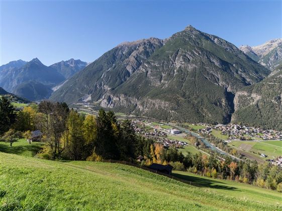
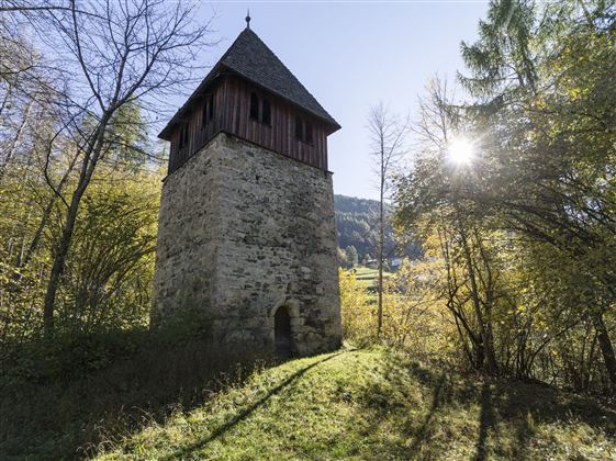
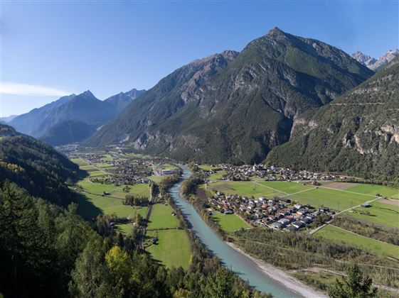
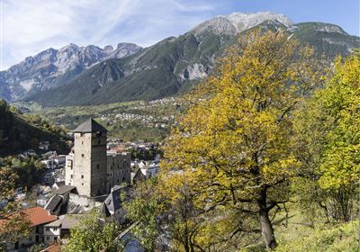
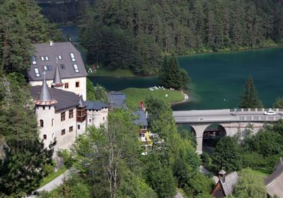
After a refreshment stop at the Sisters of Mercy at the Kronburg restaurant, the trail passes the impressive Kronburg Tobel gorge. Follow the path further to Obsaurs. The little church of St. Vigil with its Roman tower invites you to linger. Following the original route of the Way of St. James, the trail continues via Ried to Saurs, leads through the settlement and over the Inn bridge to the village centre of Mils bei Imst.


Recommended Equipment

Clothing appropriate to the weather, sufficient water

Features & Characteristics

Stamina

Skill

Start Point

Imsterberg municipal office

End Point

Kronburg

Map & Elevation Profile

Similar Tour Suggestions

Imst_Wetterkreuz-1-2.jpg

Easy

Hiking

Section 4: Imst - Tarrenz

Long distance trails

7,10 km

02:30 h

298 hm

252 hm

1063 m

imst_tourismus_bergsteigen_wyhlidal_west_0305.jpg

Medium

Hiking

Alpjoch (No. 28)

Hiking tour

8,80 km

05:00 h

320 hm

835 hm

2339 m

20190811_114250.jpg

Medium

Hiking

Panoramasteig

Hiking tour

7,70 km

03:30 h

502 hm

494 hm

1204 m

DJI_0391.jpg

Medium

Hiking

Seenwanderung

Hiking

Hiking tour

14,00 km

04:00 h

159 hm

160 hm

2018-Wandern-Bergsteigen-Tarrenz-Sinnesbrunn-Alpleskopf-web-©Rudi Wyhlidal (157).jpg

Medium

Hiking

Lehnberghaus

Hiking tour

5,70 km

02:46 h

409 hm

1554 m

img_9853.jpg

Medium

Hiking

Three-huts-tour

Hiking tour

13,20 km

06:00 h

1120 hm

1057 hm

2028 m

Loreahütte.jpg

Medium

Hiking

Loreahütte

Hiking tour

5,80 km

06:00 h

1502 hm

2427 m

imst_tourismus_wandern_wyhlidal_west_0563.jpg

Medium

Hiking

Gafleinhütte

Hiking tour

4,30 km

02:00 h

253 hm

256 hm

1681 m

tirolimster-bergbahnenAlpine Coaster Logoarea47trustyou