Hiking

Medium

Anhalter Hütte (Plötzig)

Hiking tour

Hut hike

9,50 km

04:00 h

347 hm

890 hm

2198 m

Information

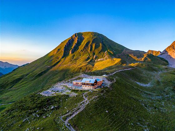
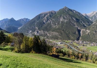
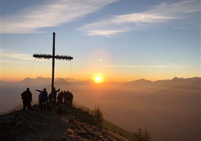
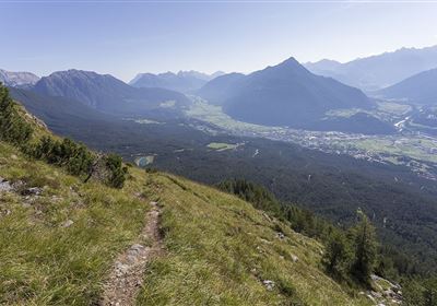
Discover the picturesque hike from the Hahntenjoch to the Anhalterhütte and on through the natural Plötigtal valley to Boden - an unforgettable adventure in the heart of the Tyrolean mountains. The starting point of this fascinating route is the pass summit of the Hahntenjoch road, from where you set off on the ascent to Steinjöchl. As you slowly gain altitude, you will be treated to breathtaking views of the surrounding mountains, which will impress you with their majestic splendor.

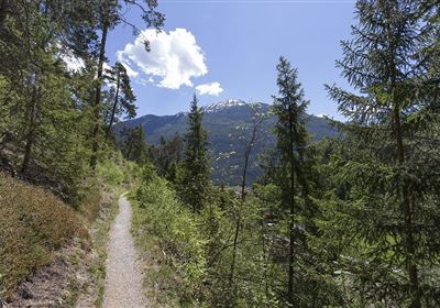
After this impressive stopover, the trail leads you down to the cozy Anhalterhütte, where you can take a well-earned rest and enjoy the Tyrolean hospitality. The descent continues through the unspoiled Plötzigtal valley, where you can experience the untouched beauty of the alpine landscape to the full. The gentle murmur of the stream and the silence of nature accompany you on this part of the route as you hike step by step towards the valley. Finally, you reach the Bschlabs main road, where your hike ends. But don't worry - a hiking bus is available for the return journey to Boden, which will take you back to your starting point comfortably and safely. (PLEASE NOTE BUS TIMES!)

Features & Characteristics

Stamina

Skill

Start Point

Hahntenjoch Passhöhe

End Point

Plötzigkuve

Map & Elevation Profile

Similar Tour Suggestions

Scharnitzsattel Richtung Imst.JPG

Medium

Hiking

Scharnitzsattel 2.441 hm

Hiking tour

11,10 km

05:45 h

549 hm

1393 hm

2440 m

WF_Imst_T06_IMG_05_6273_Plott.jpg

Easy

Hiking

Hachleschlucht

Hiking tour

4,40 km

02:30 h

298 hm

1051 m

WF_Imst_T11_IMG_01_4754_Durner.jpg

Easy

Hiking

Geo-Lehrpfad – Karröster Alm

Hiking tour

6,40 km

03:00 h

432 hm

426 hm

1468 m

image.jpg

Easy

Hiking

Imsterberger Venetalm

Hiking tour

8,80 km

05:00 h

1099 hm

1980 m

Hochimst-1-4.jpg

Medium

Hiking

Section 3a: Imsterberg - Imst

Long distance trails

12,50 km

03:00 h

407 hm

492 hm

1035 m

Große Imsterberger Dorfrunde.jpg

Easy

Hiking

Long Imsterberg village walk

Hiking tour

2,70 km

01:00 h

133 hm

130 hm

986 m

imst_tourismus_wandern_wyhlidal_west_0004.jpg

Easy

Hiking

Adlerhorststeig

Hiking tour

Loop Hike

12,10 km

04:00 h

345 hm

343 hm

1116 m

WF_Imst_T27_IMG_01_9216_Durner.jpg

Hard

Hiking

Imster Höhenweg

Hiking tour

13,00 km

09:00 h

1782 hm

805 hm

2557 m

tirolimster-bergbahnenAlpine Coaster Logoarea47trustyou