Hiking

Hard

Namlose Wetterspitze

Hiking

Hiking tour

+1

15,00 km

09:00 h

1621 hm

1077 hm

Information

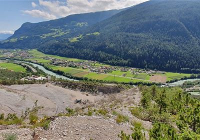
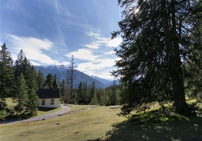
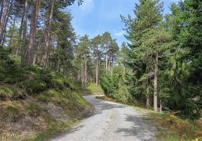
You begin at the Plötzig curve and first hike over a bridge. The path leads you gently and steadily uphill through forest and mountain pines into the Plötzig Valley. After a while, you reach the first lush alpine meadow – a perfect place to pause for a moment and enjoy the peace and quiet. Shortly after the alpine meadow, the path branches off to the left. The higher you climb, the lighter the forest becomes, until you finally reach the expansive high alpine pasture. Here you walk past grazing cows, while the terrain changes noticeably: it becomes steeper and increasingly rugged. The final section to the summit of the Namlosen Wetterspitze (2,553 m) requires some stamina but rewards you with a breathtaking panorama.
After a few minutes' walk below the summit, the return path branches off to the left. Here begins a scenic but challenging section: you follow a ridge steadily downhill. A head for heights and surefootedness are essential! The ridge offers fantastic views of the surrounding mountains – a real highlight of the tour.
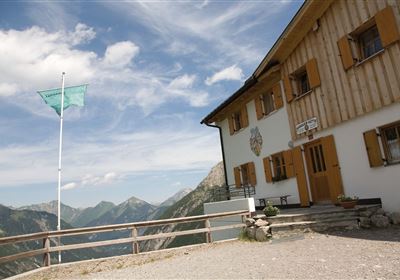
At the end of the ridge, you reach the valley floor. From here, the trail climbs again to the cozy Anhalter Hütte – perfect for a well-deserved rest. After the break, the trail climbs again to the Steinjöchl Pass. With a bit of luck, you might spot ibexes in the surrounding rock faces! From the Steinjöchl, it's all downhill until you finally reach the top of the Hahntennjoch road. This impressive circular tour ends there.

Features & Characteristics

Stamina

Skill

Start Point

Plötzig Kurve

End Point

Passhöhe Hahntenjoch

Circular hike

Yes

Map & Elevation Profile

Similar Tour Suggestions

Hochimst-1-4.jpg

Medium

Hiking

Section 3: Mils - Imst

Long distance trails

10,40 km

04:00 h

463 hm

547 hm

1035 m

Gurgltal.jpg

Easy

Hiking

Gurgltal (No. 21)

Hiking tour

Loop Hike

16,80 km

02:30 h

106 hm

850 m

20220815_134202.jpg

Medium

Hiking

Platteinwiese (Narrenkreuz)

Hiking tour

3,00 km

02:20 h

393 hm

2000 m

2000px-muszla_jakuba.svg.png

Easy

Hiking

Jakobsweg - connection Stams - Nassereith

Long distance trails

17,90 km

05:30 h

527 hm

343 hm

1149 m

Eagle Walk Stage: 19

Medium

Hiking

Eagle Walk Stage 19: Anhalter Hütte - Hanauer Hütte

Eagle walk

12,30 km

04:00 h

813 hm

941 hm

2188 m

Kronburg-1-2.jpg

Easy

Hiking

Kronburger Tobl (Nr. 87)

Hiking tour

2,50 km

01:00 h

122 hm

152 hm

1057 m

WF_Imst_T08_IMG_01_5808_Plott.jpg

Easy

Hiking

Starkenberger See

Hiking tour

6,50 km

02:10 h

217 hm

212 hm

1005 m

Kappakreuz.jpg

Medium

Hiking

Kappakreuz

Hiking tour

1,40 km

02:30 h

403 hm

1234 m

tirolimster-bergbahnenAlpine Coaster Logoarea47trustyou