Hiking

Hard

Vordere Plattein

Hiking tour

8,70 km

06:30 h

1043 hm

1036 hm

2546 m

Information

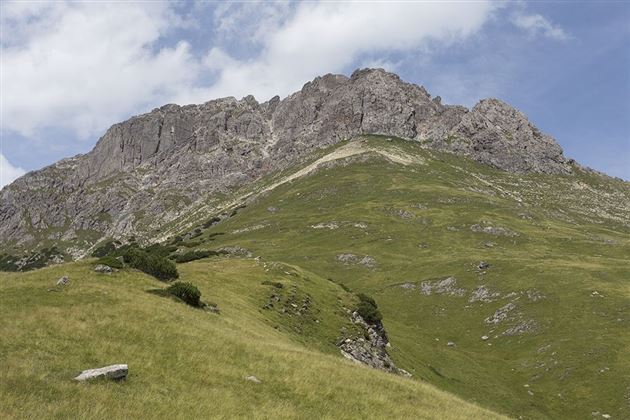
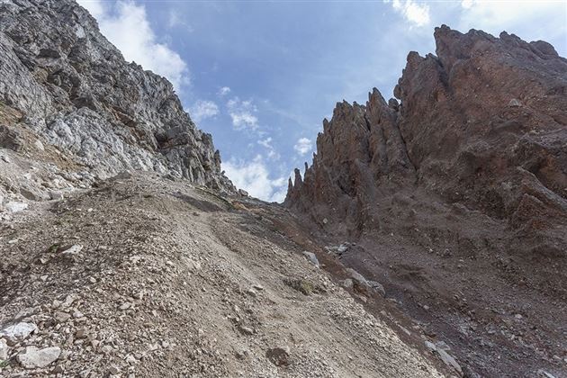
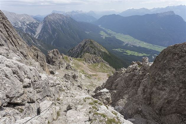
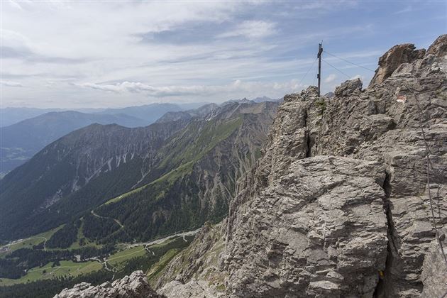
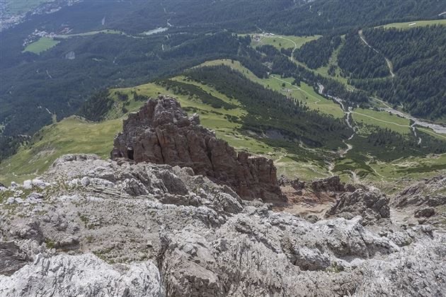
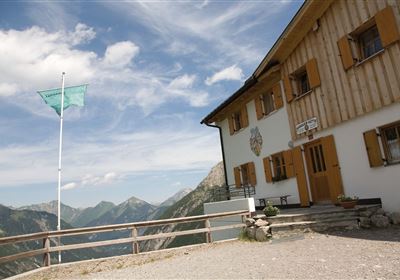
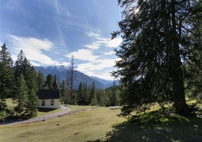
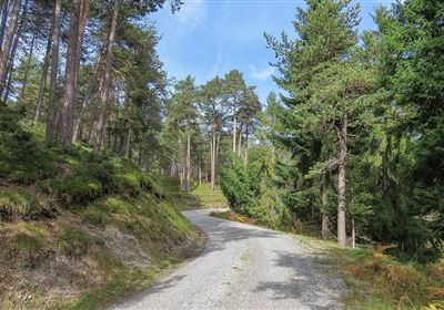
Embark on a challenging adventure and explore the majestic Platteinspitze, which beckons with its imposing presence and breathtaking views. Your starting point is the Imter Bergbahnen middle station, from where your journey begins. The trail takes you at a leisurely pace to the idyllic Latschenhütte mountain hut, where you can take a well-earned break to prepare for the ascent. From here, the trail ascends, initially through dense forest, until you leave the tree line behind you shortly before the Narrenkreuz and are rewarded with a breathtaking view. You hike up across the wide plateau meadows until you finally reach the imposing rocks. From this point, the trail becomes more challenging. First you cross a gravel section before you reach rocky terrain. A head for heights and surefootedness are essential here, as the path to the summit is secured with a wire rope.

Refreshment stops: Untermarkter Alm, Latschenhütte

Highlights: Jägersteig, Platteinwiesen, Alpine Coaster.

Recommended Equipment

Mountain equipment

Features & Characteristics

Start Point

Latschenhütte

End Point

Vordere Plattein

Map & Elevation Profile

Similar Tour Suggestions

Eagle Walk Stage: 20

Hard

Hiking

Eagle Walk Stage 20: Hanauer Hütte - Württemberger Haus

Eagle walk

11,00 km

07:00 h

1240 hm

930 hm

2480 m

WF_Imst_T11_IMG_01_4754_Durner.jpg

Easy

Hiking

Geo-Lehrpfad – Karröster Alm

Hiking tour

6,40 km

03:00 h

432 hm

426 hm

1468 m

starkenberger_panoramaweg_etappe_4 (7).jpg

Medium

Hiking

Starkenberger Panoramic Route (total)

Long distance trails

69,80 km

24:00 h

2697 hm

2572 hm

1519 m

20230629_162959.jpg

Easy

Hiking

Jägersteig

Hiking tour

3,00 km

01:15 h

137 hm

WF_Imst_T17_IMG_01_7248_Durner.jpg

Medium

Hiking

Anhalter Hütter - Tschachaun

Hiking tour

Hut hike

+1

9,60 km

06:00 h

829 hm

837 hm

2327 m

heiterwandhuette.jpeg

Medium

Hiking

Heiterwandhütte

Hiking tour

8,00 km

05:00 h

1133 hm

127 hm

2003 m

Wannig.jpg

Hard

Hiking

Wannig

Hiking tour

12,00 km

12:00 h

1715 hm

2493 m

2018-Wandern-Bergsteigen-Tarrenz-Sinnesbrunn-Alpleskopf-web-©Rudi Wyhlidal (97).jpg

Hard

Hiking

Namlose Wetterspitze

Hiking

Hiking tour

15,00 km

09:00 h

1621 hm

1077 hm

tirolimster-bergbahnenAlpine Coaster Logoarea47trustyou