Hiking

Medium

die 3 Alm Tour

Hiking

Hiking tour

+3

8,50 km

03:00 h

500 hm

Information

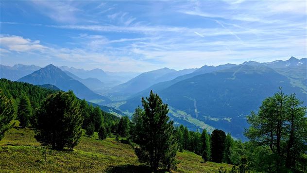
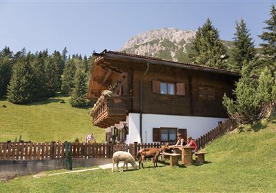
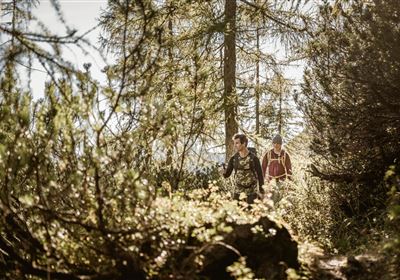
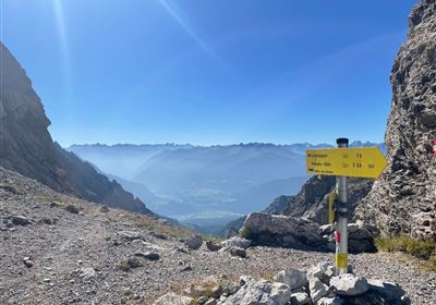
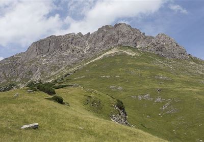
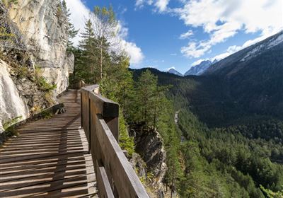
Your starting point is at the Venet Alm, which you can easily reach by car. From here, the hike begins at a leisurely pace - a short stretch along a road, ideal for warming up. You will soon be immersed in a fairytale Swiss stone pine forest, which welcomes you with its scent and pleasant shade. But don't worry - the forest is only a short episode. The landscape soon opens up and you find yourself on a fantastic high-altitude trail. Now it's getting kitschy - but in the best sense! The high trail is lined with countless alpine roses, which offer a veritable sea of color when in bloom. Every photo stop here is worthwhile - because the view into the valley is also spectacular. The trail leads slightly downhill until you finally arrive at the charming Galfun Alm. Here you can fortify yourself on the sun terrace with a traditional Tyrolean snack or a cool drink. After a short break, the route continues - a short stretch on a forest road that takes you to the nearby Larcher Alm. A rustic hut with genuine Tyrolean 

Features & Characteristics

Stamina

Skill

Start Point

Venet Alm

End Point

Venet Alm

Circular hike

Yes

Map & Elevation Profile

Similar Tour Suggestions

2023-Wandern-Hinteres Alpjoch-Muttekopfhütte-Hoch Imst-©Imst Tourismus (5).jpg

Medium

Hiking

Vorderes Alpjoch

Hiking

Hiking tour

4,00 km

03:00 h

500 hm

Lochmühle.jpg

Medium

Hiking

Lochmühle

Hiking tour

3,70 km

01:30 h

198 hm

300 hm

1033 m

Bergwiesen.jpg

Easy

Hiking

Bergwiesen (No. 67)

Hiking tour

6,40 km

02:00 h

300 hm

1185 m

WF_Imst_T25_IMG_01_8973_Durner.jpg

Hard

Hiking

Vordere Plattein

Hiking tour

8,70 km

06:30 h

1043 hm

1036 hm

2546 m

2018-Wandern-Bergsteigen-Tarrenz-Sinnesbrunn-Alpleskopf-web-©Rudi Wyhlidal (60).jpg

Hard

Hiking

falscher Kogel

Hiking tour

1,66 km

02:30 h

364 hm

2388 m

Screenshot 2024-04-26 104202.jpg

Medium

Hiking

Kohlstattsee

Hiking tour

6,50 km

314 hm

362 hm

1500 m

Kappakreuz.jpg

Medium

Hiking

Kappakreuz

Hiking tour

1,40 km

02:30 h

403 hm

1234 m

Oberfeldwaal Roppen 1.gpx.jpg

Easy

Hiking

Oberfeld irrigation canal Roppen

Hiking tour

1,90 km

01:15 h

43 hm

760 m

tirolimster-bergbahnenAlpine Coaster Logoarea47trustyou