Hiking

Medium

Karrer Alm / Tschirgant

Hiking tour

Summit tour

17,00 km

07:00 h

1553 hm

1521 hm

2254 m

Information

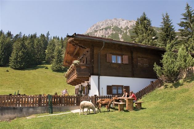
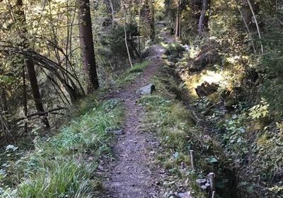
First, the alpine trail leads you through the spruce forest to the Karrer Alm. From there, the steep ascent begins on a narrow path that requires surefootedness and is interspersed with scree and rocks in places. Some sections are even secured by ropes.

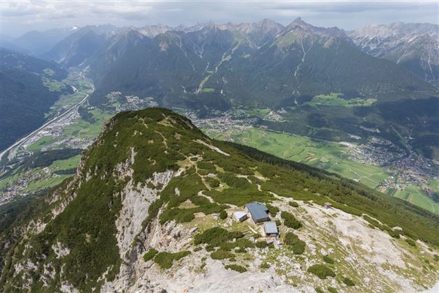
The ascent is rewarded with a magnificent view as soon as you reach the saddle. You finally reach the summit of the Tischirgant via a ridge path that requires a head for heights. Enjoy the impressive landscape and the view over the mountains and valleys.

Not an easy but rewarding hike!

Recommended Equipment

good shoes, enough to drink

Features & Characteristics

Stamina

Skill

Start Point

Karres

End Point

Tschirgant

Map & Elevation Profile

Similar Tour Suggestions

2010-Wandern-Hütten und Almen-Muthenau Alm-©Unbekannt (6).JPG

Medium

Hiking

Biberwier

Hiking tour

5,00 km

02:00 h

300 hm

251 hm

1789 m

2000px-Muszla_Jakuba.svg.png

Medium

Hiking

Jakobsweg - connection Nassereith - Lermoos

Long distance trails

18,50 km

05:30 h

523 hm

364 hm

1239 m

24h-trophy-2023-imst-web-20-1.jpg

Hard

Hiking

12H Hiking Challenge 2026

Hiking

21,00 km

1590 hm

1578 hm

2300 m

Fernsteinsee-1.jpg

Easy

Hiking

Rundwanderweg Fernsteinsee

Hiking tour

12,10 km

04:00 h

157 hm

152 hm

alm08.JPG

Medium

Hiking

Tarrenton Alm

Hiking tour

22,00 km

07:30 h

779 hm

777 hm

1577 m

im_huetten_hanauer_015.jpg

Medium

Hiking

Hanauer Hütte

Hiking tour

10,00 km

03:30 h

595 hm

563 hm

1925 m

Obtarrenz_Salvesen-1.jpg

Medium

Hiking

Section 5: Tarrenz - Nassereith

Long distance trails

15,50 km

05:30 h

840 hm

828 hm

1519 m

Schweintal.jpg

Easy

Hiking

Schweintal

Hiking tour

3,00 km

02:00 h

231 hm

156 hm

1022 m

tirolimster-bergbahnenAlpine Coaster Logoarea47trustyou