Hiking

Medium

Scharnitzsattel 2.441 hm

Hiking tour

11,10 km

05:45 h

549 hm

1393 hm

2440 m

Best Time of Year

Jan

Feb

Mar

Apr

May

Jun

Jul

Aug

Sep

Oct

Nov

Dec

Information

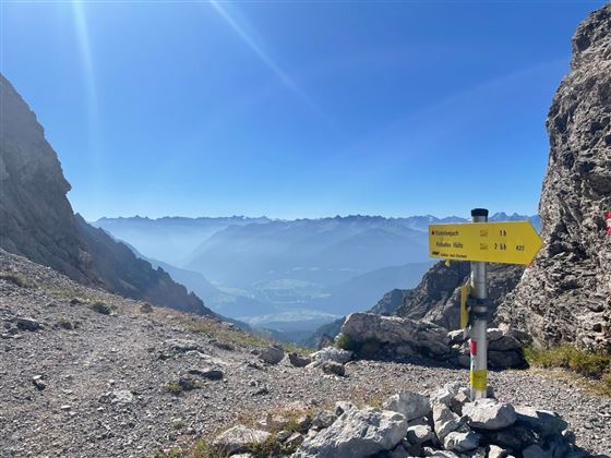
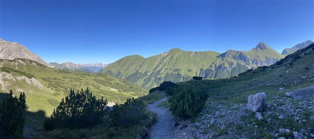
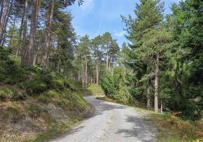
The best place to start is at the top of the Hahntenjoch pass. The hike is moderately difficult and very varied. You will hike through mountain pines and scree, as well as rocky sections that require your attention.

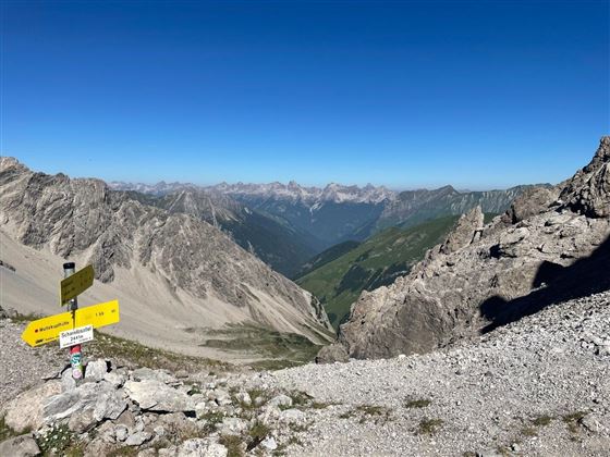
The key section of the tour is just below the saddle, where there is a short section with rope insurance. But don't worry, with a little caution and determination, you'll have no problem mastering it! As you make your way through the varied landscape, you can pause time and again to enjoy the impressive beauty of nature

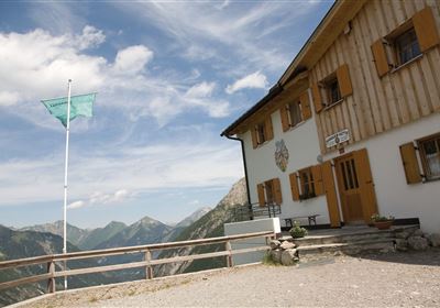
The descent then takes place on the other side of the saddle to the Muttekopfhütte and on to the Latschenhütte. Along the way, you can enjoy the magnificent nature of the region and the fresh mountain air.

Recommended Equipment

dem Wetter angepasste Kleidung, ausreichend Flüssigkeit sowie gutes knöchelhohes Schuhwerk.

Features & Characteristics

Stamina

Skill

Start Point

Passhöhe Hahntennjoch

End Point

Parkplatz Imster Bergbahnen

Map & Elevation Profile

Similar Tour Suggestions

WF_Imst_T06_IMG_05_6273_Plott.jpg

Easy

Hiking

Hachleschlucht

Hiking tour

4,40 km

02:30 h

298 hm

1051 m

WF_Imst_T11_IMG_01_4754_Durner.jpg

Easy

Hiking

Geo-Lehrpfad – Karröster Alm

Hiking tour

6,40 km

03:00 h

432 hm

426 hm

1468 m

image.jpg

Easy

Hiking

Imsterberger Venetalm

Hiking tour

8,80 km

05:00 h

1099 hm

1980 m

Hochimst-1-4.jpg

Medium

Hiking

Section 3a: Imsterberg - Imst

Long distance trails

12,50 km

03:00 h

407 hm

492 hm

1035 m

Große Imsterberger Dorfrunde.jpg

Easy

Hiking

Long Imsterberg village walk

Hiking tour

2,70 km

01:00 h

133 hm

130 hm

986 m

imst_tourismus_wandern_wyhlidal_west_0004.jpg

Easy

Hiking

Adlerhorststeig

Hiking tour

Loop Hike

12,10 km

04:00 h

345 hm

343 hm

1116 m

WF_Imst_T27_IMG_01_9216_Durner.jpg

Hard

Hiking

Imster Höhenweg

Hiking tour

13,00 km

09:00 h

1782 hm

805 hm

2557 m

2018-Wandern-Panoramawandern-Hoch-Imst-Sunorama-©Rudi Wyhlidal (11).jpg

Medium

Hiking

SunOrama

Hiking tour

3,00 km

02:00 h

511 hm

2000 m

tirolimster-bergbahnenAlpine Coaster Logoarea47trustyou