Hiking
Medium
Plattigsteig
Hiking tour
Loop Hike
+1
8,30 km
04:00 h
583 hm
580 hm
2022 m
Information
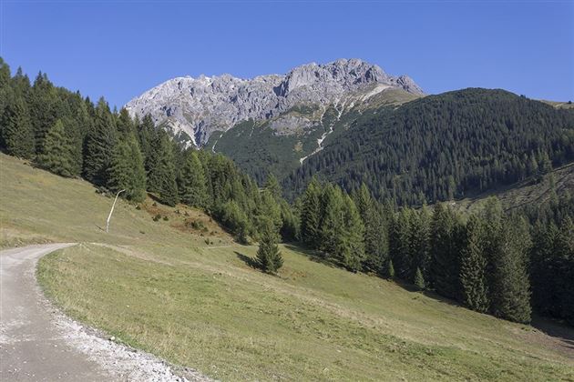
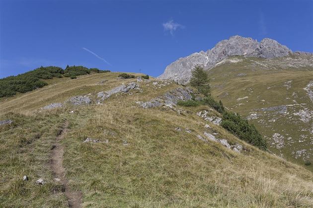
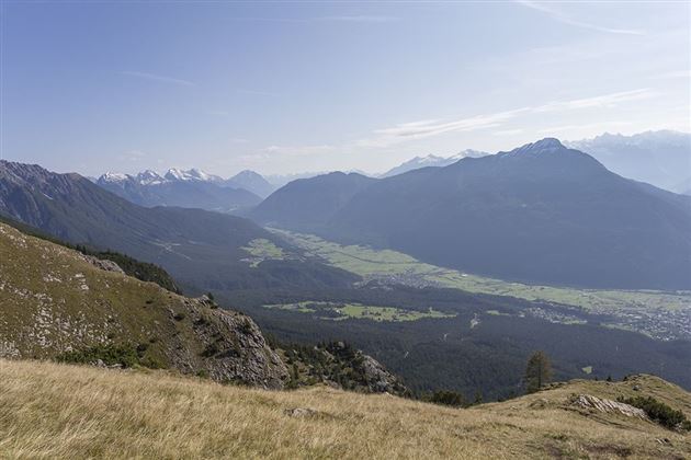
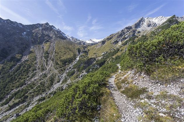
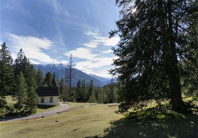
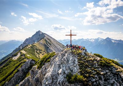
The starting point of this picturesque route is the middle station of the Imster Bergbahnen. From here the hike starts along the romantic Jägersteig, which creates a unique atmosphere with its carved animals. The route continues to the cozy Latschenhütte. The route continues through sparse forest to the Platteinwiese. At the Fool's Cross, the climb is rewarded with a fantastic view of the surrounding mountains. The majestic peaks and the breathtaking panorama invite you to pause for a moment and enjoy the beauty of nature. The subsequent section over the narrow Plattigsteig requires sure-footedness and a head for heights. Although the path is secured in some places, it is important to concentrate on the challenge. The trail leads along narrow paths and even requires crossing a small stream at one point, adding an extra dose of adventure to the hike. After this demanding section you finally reach the Muttekopfhütte, where a short refreshment with regional specialties awaits the hikers. The hut not only offers culinary delights, but also a wonderful view that rewards the effort of the climb. For the way back, you can take the normal route, which also offers impressive views of the landscape. Step by step he leads the hikers back to the starting point at the middle station of the mountain railways, where the experiences of this alpine adventure remain in memory.
Recommended Equipment
Clothing & mountain equipment suitable for the weather
Features & Characteristics
Stamina
Skill
Start Point
Latschenhütte
End Point
Muttekopfhütte
Circular hike
Yes
Map & Elevation Profile
Similar Tour Suggestions
Share


