Hiking

Easy

Geology nature trail Forchet

Hiking tour

Thematic route

+2

3,90 km

02:00 h

77 hm

105 hm

735 m

Information

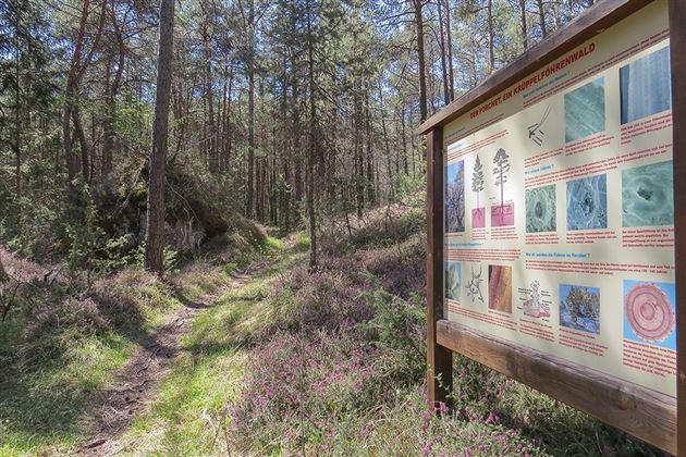
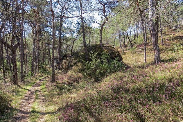
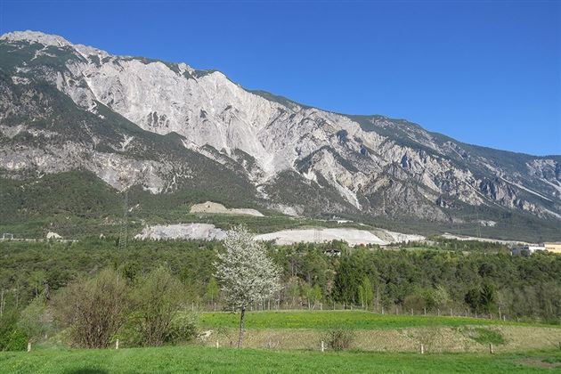
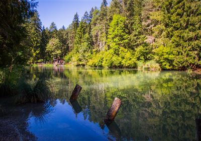
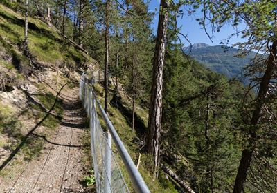
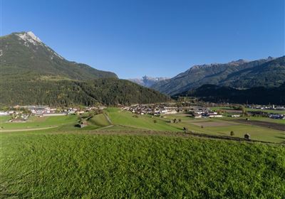
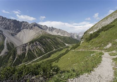
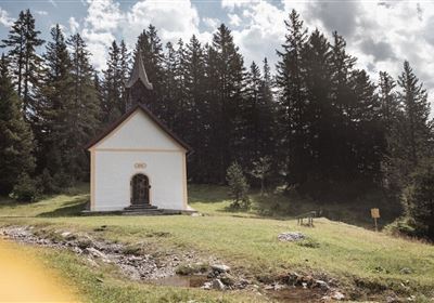
The Forchet geological trail offers a fascinating opportunity to explore the Tschirgant landslide area, located between Roppen and Haiming. This varied tour not only leads past the Area 47 leisure park, but also through a picturesque pine forest, peppered with informative boards along the geological trail in Roppen. A special tip: in March, the landscape is transformed into a sea of heather, giving this hike a very special charm. Immerse yourself in the geology and nature of this fascinating region and be enchanted by its beauty.

Recommended Equipment

gute Schuhe, genügend Flüssigkeit

Features & Characteristics

Stamina

Skill

Start Point

Kulturzentrum

End Point

Kulturzentrum

Family hike

Yes

Circular hike

Yes

Map & Elevation Profile

Similar Tour Suggestions

Karres - Roppen.jpg

Easy

Hiking

Karres - Roppen

Hiking tour

5,50 km

01:40 h

96 hm

225 hm

856 m

imst_tourismus_wandern_wyhlidal_west_0563.jpg

Medium

Hiking

Gafleinhütte

Hiking tour

4,30 km

02:00 h

253 hm

256 hm

1681 m

Loreahütte.jpg

Medium

Hiking

Loreahütte

Hiking tour

5,80 km

06:00 h

1502 hm

2427 m

Wannig.jpg

Hard

Hiking

Wannig

Hiking tour

12,00 km

12:00 h

1715 hm

2493 m

2015-Schwimmen & Tauchen-Starkenberger See-Tarrenz-©Unbekannt (16).jpg

Easy

Hiking

Starkenberger See

Hiking tour

Loop Hike

5,00 km

02:00 h

106 hm

110 hm

900 m

Adlerweg Etappe 19: Hanauer Hütte

Medium

Hiking

Eagle Walk Stage 19: Anhalter Hütte - Hanauer Hütte

Eagle walk

12,30 km

04:00 h

813 hm

941 hm

2188 m

Muthenaualm.JPG

Medium

Hiking

Muthenaualm

Hiking tour

Hut hike

+1

6,80 km

04:20 h

988 hm

85 hm

1783 m

im_huette_anhalter_015.jpg

Medium

Hiking

Anhalter Hütte

Hiking tour

Hut hike

6,00 km

03:00 h

514 hm

515 hm

2195 m

tirolimster-bergbahnenAlpine Coaster Logoarea47trustyou