Hiking

Medium

Milsbergsteig

Hiking tour

6,10 km

334 hm

523 hm

1183 m

Information

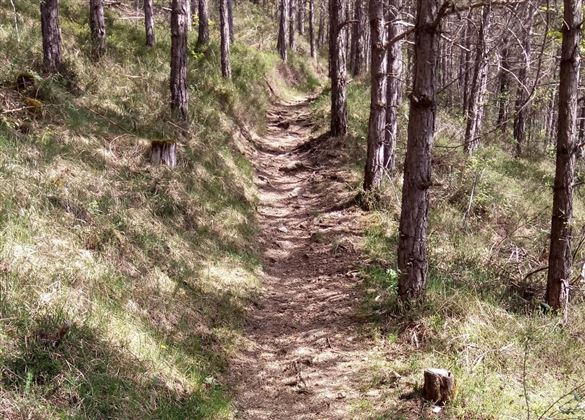
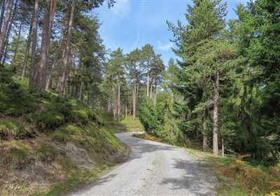
Discover the impressive hike along the Milsbergsteig trail, which starts at the Maria Schnee pilgrimage church in Gunglgrün. The trail first takes you past a wildlife feeding station, where you may have the opportunity to observe native animals in their natural environment.

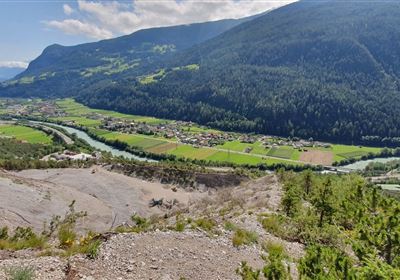
The panoramic trail then takes you above the region, offering breathtaking views of the surrounding landscape. The beauty of the Tyrolean mountains is sure to fascinate you on this section of the hike and provide unforgettable moments.

The Milsbergsteig trail finally leads you down to Mils near Imst, where you can conclude your hike.

Recommended Equipment

good shoes, enough to drink

Features & Characteristics

Start Point

Gunglgrün

End Point

Mils bei Imst

Map & Elevation Profile

Similar Tour Suggestions

Scharnitzsattel Richtung Imst.JPG

Medium

Hiking

Scharnitzsattel 2.441 hm

Hiking tour

11,10 km

05:45 h

549 hm

1393 hm

2440 m

WF_Imst_T06_IMG_05_6273_Plott.jpg

Easy

Hiking

Hachleschlucht

Hiking tour

4,40 km

02:30 h

298 hm

1051 m

WF_Imst_T11_IMG_01_4754_Durner.jpg

Easy

Hiking

Geo-Lehrpfad – Karröster Alm

Hiking tour

6,40 km

03:00 h

432 hm

426 hm

1468 m

image.jpg

Easy

Hiking

Imsterberger Venetalm

Hiking tour

8,80 km

05:00 h

1099 hm

1980 m

Hochimst-1-4.jpg

Medium

Hiking

Section 3a: Imsterberg - Imst

Long distance trails

12,50 km

03:00 h

407 hm

492 hm

1035 m

Große Imsterberger Dorfrunde.jpg

Easy

Hiking

Long Imsterberg village walk

Hiking tour

2,70 km

01:00 h

133 hm

130 hm

986 m

imst_tourismus_wandern_wyhlidal_west_0004.jpg

Easy

Hiking

Adlerhorststeig

Hiking tour

Loop Hike

12,10 km

04:00 h

345 hm

343 hm

1116 m

WF_Imst_T27_IMG_01_9216_Durner.jpg

Hard

Hiking

Imster Höhenweg

Hiking tour

13,00 km

09:00 h

1782 hm

805 hm

2557 m

tirolimster-bergbahnenAlpine Coaster Logoarea47trustyou