Hiking

Medium

Vorderes Alpjoch

Hiking

Hiking tour

4,00 km

03:00 h

500 hm

Best Time of Year

Jan

Feb

Mar

Apr

May

Jun

Jul

Aug

Sep

Oct

Nov

Dec

Information

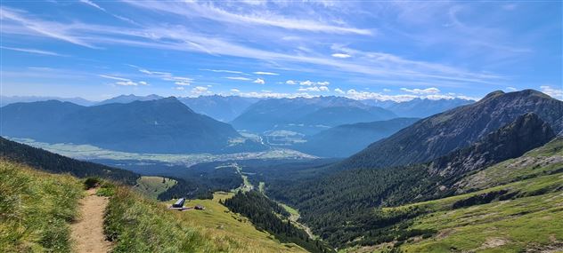
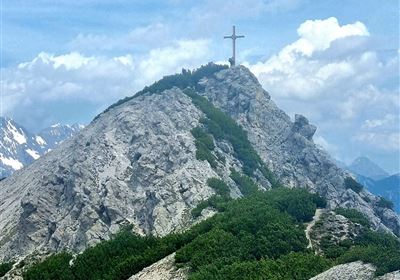
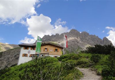
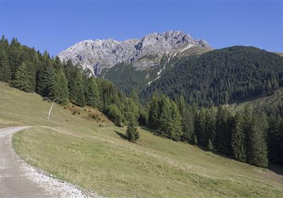
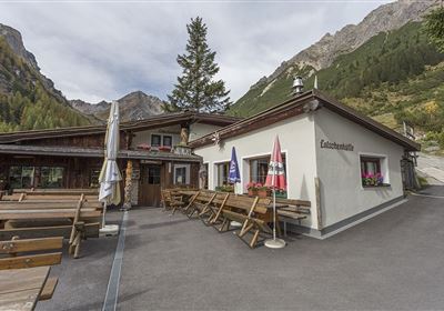
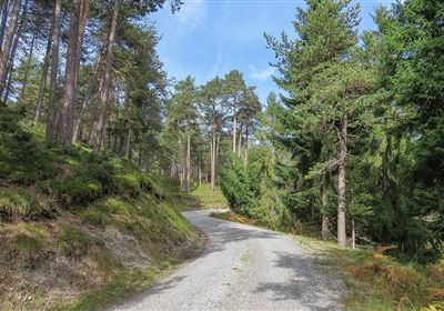
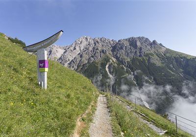
This impressive hike starts at the top station of the second section of the Imst cable car and leads you through a spectacular high mountain landscape with breathtaking views and alpine character. The hike begins uphill, but the walk to the cross of the Vorderes Alpjoch is short. There, you will be rewarded with magnificent views of the entire Muttekopf area and the surrounding peaks. From here, you follow the ridge, which leads you at lofty heights to the junction of the Alpine Trail to the Muttekopf Hut. Now the challenging descent begins: a steep, large scree field that requires absolute surefootedness. This section demands concentration and sturdy footwear, but the view and the alpine adventure are well worth it. After the steep section, the trail becomes more gentle. You hike past grazing sheep in the untouched nature. You will soon reach the Muttekopf Hut, where you can enjoy a well-deserved rest with regional delicacies. Well-fortified, you'll now return to the starting point via the impressive Drischelsteig trail. This trail isn't technically difficult, but requires a head for heights, as some sections offer impressive views. Enjoy the fantastic scenery before returning to the mountain station and relaxing to end your tour.

Recommended Equipment

good footwear, sufficient fluids

Features & Characteristics

Stamina

Skill

Start Point

2 Stektion Imster Bergbahnen

End Point

2 Sektion Imster Bergbahnen

Map & Elevation Profile

Similar Tour Suggestions

Hochimst-1-4.jpg

Medium

Hiking

Section 3: Mils - Imst

Long distance trails

10,40 km

04:00 h

463 hm

547 hm

1035 m

Gurgltal.jpg

Easy

Hiking

Gurgltal (No. 21)

Hiking tour

Loop Hike

16,80 km

02:30 h

106 hm

850 m

20220815_134202.jpg

Medium

Hiking

Platteinwiese (Narrenkreuz)

Hiking tour

3,00 km

02:20 h

393 hm

2000 m

2000px-muszla_jakuba.svg.png

Easy

Hiking

Jakobsweg - connection Stams - Nassereith

Long distance trails

17,90 km

05:30 h

527 hm

343 hm

1149 m

Eagle Walk Stage: 19

Medium

Hiking

Eagle Walk Stage 19: Anhalter Hütte - Hanauer Hütte

Eagle walk

12,30 km

04:00 h

813 hm

941 hm

2188 m

Kronburg-1-2.jpg

Easy

Hiking

Kronburger Tobl (Nr. 87)

Hiking tour

2,50 km

01:00 h

122 hm

152 hm

1057 m

WF_Imst_T08_IMG_01_5808_Plott.jpg

Easy

Hiking

Starkenberger See

Hiking tour

6,50 km

02:10 h

217 hm

212 hm

1005 m

Kappakreuz.jpg

Medium

Hiking

Kappakreuz

Hiking tour

1,40 km

02:30 h

403 hm

1234 m

tirolimster-bergbahnenAlpine Coaster Logoarea47trustyou