Hiking

Medium

Galflun Alm

Hiking tour

3,80 km

01:13 h

95 hm

1900 m

Information

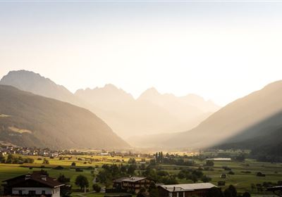
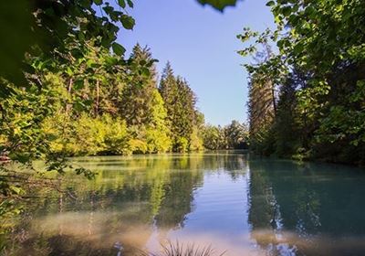
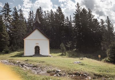
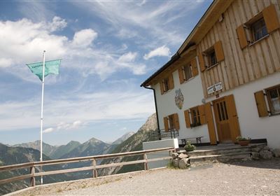
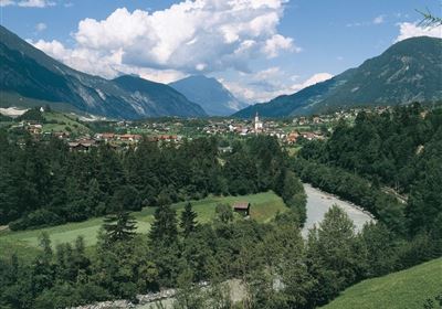
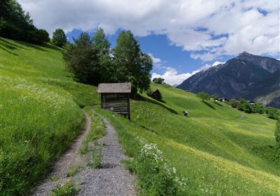
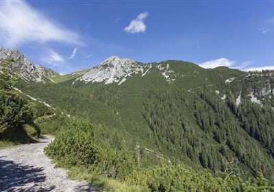
The hike from the Venet Alm to the Galfun Alm is an idyllic tour that will delight both nature lovers and those seeking relaxation. With only a few meters of elevation gain, it offers the perfect opportunity to experience the beauty of the Tyrolean mountains without too much exertion. The trail leads you through picturesque forests. Here, you can enjoy the tranquility of nature and listen to the birdsong as you leisurely progress. Along the path, you will repeatedly encounter alpine roses in full bloom, adorning the landscape with their delicate pink. As you continue, a dreamy backdrop of imposing mountain peaks and rolling alpine meadows opens up before you. The majestic peaks of the surrounding area rise into the blue sky. Finally, you reach the Galfun Alm, where you will be rewarded with a warm welcome and delicious regional specialties. Here, you can pause, enjoy the view, and absorb the tranquility of the mountains before making your way back to the Venet Alm.
Feedback geben
Seitenleisten
Verlauf
Gespeichert

Recommended Equipment

good footwear, sufficient fluids

Features & Characteristics

Stamina

Skill

Start Point

Venet Alm

End Point

Galfun Alm

Map & Elevation Profile

Similar Tour Suggestions

Eagle Walk Stage: 20

Hard

Hiking

Eagle Walk Stage 20: Hanauer Hütte - Württemberger Haus

Eagle walk

11,00 km

07:00 h

1240 hm

930 hm

2480 m

WF_Imst_T11_IMG_01_4754_Durner.jpg

Easy

Hiking

Geo-Lehrpfad – Karröster Alm

Hiking tour

6,40 km

03:00 h

432 hm

426 hm

1468 m

starkenberger_panoramaweg_etappe_4 (7).jpg

Medium

Hiking

Starkenberger Panoramic Route (total)

Long distance trails

69,80 km

24:00 h

2697 hm

2572 hm

1519 m

20230629_162959.jpg

Easy

Hiking

Jägersteig

Hiking tour

3,00 km

01:15 h

137 hm

WF_Imst_T17_IMG_01_7248_Durner.jpg

Medium

Hiking

Anhalter Hütter - Tschachaun

Hiking tour

Hut hike

+1

9,60 km

06:00 h

829 hm

837 hm

2327 m

heiterwandhuette.jpeg

Medium

Hiking

Heiterwandhütte

Hiking tour

8,00 km

05:00 h

1133 hm

127 hm

2003 m

Wannig.jpg

Hard

Hiking

Wannig

Hiking tour

12,00 km

12:00 h

1715 hm

2493 m

2018-Wandern-Bergsteigen-Tarrenz-Sinnesbrunn-Alpleskopf-web-©Rudi Wyhlidal (97).jpg

Hard

Hiking

Namlose Wetterspitze

Hiking

Hiking tour

15,00 km

09:00 h

1621 hm

1077 hm

tirolimster-bergbahnenAlpine Coaster Logoarea47trustyou