Running

Medium

Sonneck Trail

Trailrunning

11,10 km

460 hm

1399 m

Best Time of Year

Jan

Feb

Mar

Apr

May

Jun

Jul

Aug

Sep

Oct

Nov

Dec

Information

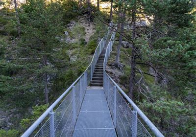
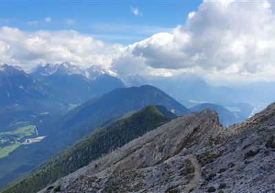
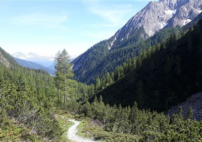
From Hoch Imst follow the toboggan run in the direction of Untermarkter Alm. At the second pasture gate, a trail branches off to the right in the direction of the power plant. At the power station a forest road leads to the Obermarkter toboggan run. Follow this downhill until a forest road with a barrier branches off to the left after the flat area. Follow this for a long time until a forest road on the right-hand side leads further in the direction of Hoch Imst. From here, cross the torrent dam, pass the starting point of the Obermarkt toboggan run and return to Hoch Imst via the Hachleschlucht gorge.

Recommended Equipment

Trinkrucksack, Stöcke, Sportschuhe

Features & Characteristics

Start Point

Hoch-Imst

End Point

Hoch-Imst

Map & Elevation Profile

Similar Tour Suggestions

imst_Bilder_BNVH_Wandern und SUP und Landschaft (23).JPG

Medium

Running

Gunglgrün Trail

Trailrunning

12,30 km

356 hm

360 hm

1098 m

Tschirgant.jpg

Medium

Running

TschirgantSkyRun TS26

Trailrunning

26,60 km

1780 hm

1781 hm

2357 m

Karröstenallerlei (256).JPG

Easy

Running

Karröster Runde

Trailrunning

9,40 km

02:30 h

307 hm

311 hm

963 m

20200521_104332.jpg

Hard

Running

TschirgantSkyRun TS42

Trailrunning

42,36 km

2325 hm

2331 hm

2227 m

TVBImst_TrailRunning_2019_RudiWyhlidal_MG_8788.jpg

Hard

Running

TschirgantSkyRun TS52

Trailrunning

51,50 km

3375 hm

3378 hm

2357 m

TVBImst_TrailRunning_2019_RudiWyhlidal_MG_9046.jpg

Hard

Running

Imster Höhenweg Trail

Trailrunning

26,80 km

3038 hm

3032 hm

2766 m

im_laufen_001.jpg

Easy

Running

Nuireith fittrail

Nordic walking

2,20 km

70 hm

64 hm

1086 m

Obtarrenz_Salvesen-1-4.jpg

Easy

Running

Rotanger Trail

Trailrunning

18,80 km

671 hm

669 hm

1070 m

tirolimster-bergbahnenAlpine Coaster Logoarea47trustyou