Running

Medium

Tschirgant Trail

Trailrunning

19,96 km

1447 hm

1833 hm

2356 m

Best Time of Year

Jan

Feb

Mar

Apr

May

Jun

Jul

Aug

Sep

Oct

Nov

Dec

Information

Our route today leads us from Karrösten over the Tschirgant to Silz to Crazy Eddy.

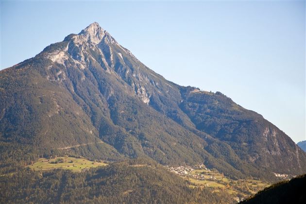
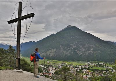
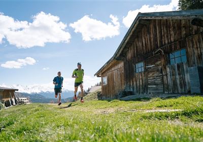
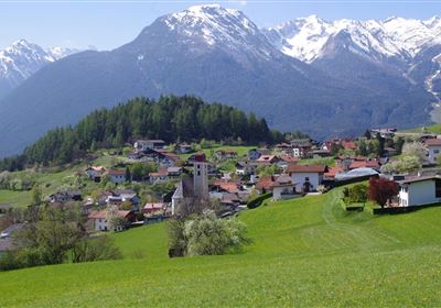
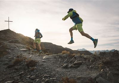
We start at the well signposted parking lot in Karrösten. Initially on the forest road, it soon goes on a trail that winds through the forest towards Karröster Alm. You cross the beautiful alpine pasture and can walk along the well-maintained forest road for another stretch until you reach the mountain pine border. Now it becomes steep! On a steep path with roots and large steps you quickly gain altitude. At the forest border you have the first view of the beautiful mountain massif of the Tschirgant. Arrived at the mountain guard hut there are two possibilities to the summit. Once through the so-called "chimney", which, however, is not recommended with running shoes and good alpine experience. Or the "normal path" which leads to the left of the hut to the summit. Arrived at the summit you can enjoy an incredible panoramic view. Characterized by the Ötztal Alps to the Lechtalern to the Mieminger chain yes even the Zugspitze is best seen from here. From here the real fun begins. The unique ridge divides the Inntal from the Gurgltal. This runnable ridge will definitely be an unforgettable experience before you come back to a wonderful alpine plateau after about 4 kilometers. Passing the Haimingeralm, you continue on another trail, which now slowly slopes towards the Inntal. Through forests and stone massifs it now goes along the "Harrersteig" to Zwischensimmering. Arrived at the junction, the route continues on a forest path for about one kilometer, before it goes on the technically demanding downhill through the Simmering. A good 700 meters of altitude are mastered here in 3 kilometers. Once you arrive in Silz, you'll be in the mood for a wheat beer at Crazy Eddy. With your feet in the cold Inn River, you can reflect on the wonderful tour.


A tour by TrailMotion Tirol   

Recommended Equipment

Trinkrucksack, Stöcke, Sportschuhe

Features & Characteristics

Start Point

Karrösten

End Point

Crazy Eddy ( Silz )

Map & Elevation Profile

Similar Tour Suggestions

im_laufen_033.jpg

Easy

Running

Speed-run

Nordic walking

876 m

15 hm

14 hm

1055 m

Tschirgant.jpg

Medium

Running

TschirgantSkyRun TS26

Trailrunning

26,60 km

1780 hm

1781 hm

2357 m

im_laufen_001.jpg

Easy

Running

Nuireith fittrail

Nordic walking

2,20 km

70 hm

64 hm

1086 m

6B9A9837.jpg

Easy

Running

Starkenberger See

Trailrunning

11,50 km

400 hm

393 hm

1127 m

Trail Running (3).jpg

Medium

Running

Venet Alm circuit

Trailrunning

14,40 km

03:30 h

1000 hm

1994 m

Starkenberglauf.jpg

Hard

Running

Starkenberg run

Nordic walking

14,73 km

571 hm

576 hm

1073 m

imst_Bilder_BNVH_Wandern und SUP und Landschaft (23).JPG

Medium

Running

Gunglgrün Trail

Trailrunning

12,30 km

356 hm

360 hm

1098 m

20190624_163412.jpg

Hard

Running

Württemberger Trail

Trailrunning

21,10 km

1853 hm

1789 hm

2449 m

tirolimster-bergbahnenAlpine Coaster Logoarea47trustyou