Running

Medium

Opferstock Trail

Trailrunning

9,40 km

617 hm

606 hm

1633 m

Best Time of Year

Jan

Feb

Mar

Apr

May

Jun

Jul

Aug

Sep

Oct

Nov

Dec

Information

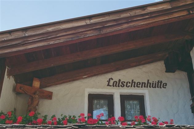
The starting point is the Hoch Imst parking lot. Walk along a forest road in the direction of Linserhof across the Hachleschlucht gorge until the path (Opferstock) branches off on the left in the direction of the Latschenhütte mountain hut. Continuously uphill to the Latschenhütte (highest point of the route 1607 m).  Across the Malchbach onto the Jägersteig and the Zugweg Malchbach to the Untermarkter Alm. From there via the toboggan run downhill to Hoislers Angerle (flat pasture meadow) and onto the mushroom trail. Follow this trail to Hoch Imst.


Recommended Equipment

Trinkrucksack, Stöcke, Sportschuhe

Features & Characteristics

Start Point

Hoch-Imst

End Point

Hoch-Imst

Map & Elevation Profile

Similar Tour Suggestions

im_laufen_004.jpg

Easy

Running

Inn bridge run

Nordic walking

6,03 km

154 hm

152 hm

796 m

20190624_163412.jpg

Hard

Running

Württemberger Trail

Trailrunning

21,10 km

1853 hm

1789 hm

2449 m

imst_tourismus_wandern_wyhlidal_west_0073.jpg

Easy

Running

Gunglgrün run

Nordic walking

7746,00 km

228 hm

229 hm

1104 m

im_laufen_034.jpg

Easy

Running

Chapel tour

Nordic walking

2,01 km

20 hm

18 hm

836 m

imst_tourismus_wandern_wyhlidal_west_0073.jpg

Medium

Running

Tschirgant run

Nordic walking

11,72 km

279 hm

333 hm

918 m

imst_tourismus_wandern_wyhlidal_west_0004.jpg

Hard

Running

Teilwiesen run

Nordic walking

10,20 km

341 hm

333 hm

1075 m

Karröster Alm_Bild

Easy

Running

TschirgantSkyRun TS16

Trailrunning

16,90 km

06:30 h

811 hm

814 hm

1468 m

imst_tourismus_wandern_wyhlidal_west_0119.jpg

Medium

Running

Sonneck Trail

Trailrunning

11,10 km

460 hm

1399 m

tirolimster-bergbahnenAlpine Coaster Logoarea47trustyou