We use cookies for your personalized browsing experience, to personalize content and ads, to provide social media features, and to analyze traffic to our website. We also share information about your use of our website with our social media, advertising and analytics partners. Our partners may combine this information with other data that you have provided to them or that they have collected as part of your use of the Services. (incl. US providers)
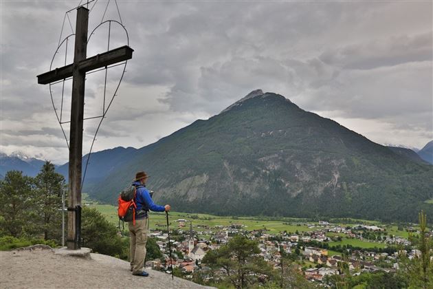
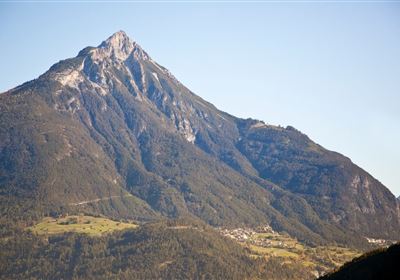
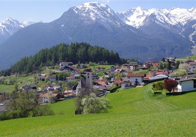
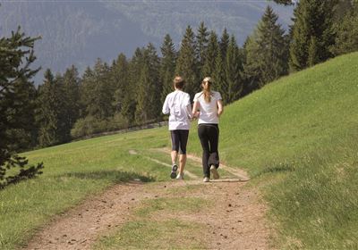
Starting point is the sports center in Imst (free parking), slightly uphill to the Volks- und Neue Mittelschule Oberstadt, then towards Johanneskirche and over the Imster Kalvarienberg, past the Laurentiuskirche towards Wetterkreuz (987m). Enjoying the fantastic view of the Imst city center and the Tschirgant, we continue towards Hoch Imst and the Sonnberg. At the fork Ochsenhaag slightly uphill to the highest point of the track 1263 m running; turn left and follow the forest road in slightly sloping coppiced terrain. Then on a short climb, renewed forest road in the direction of the recycling yard, crossing the main road and across the meadows of the Monekreuz to the Palmersbachweg. From here the last meters lead through the Imst town area back to the sports center.