Running

Hard

Württemberger Trail

Trailrunning

21,10 km

1853 hm

1789 hm

2449 m

Best Time of Year

Jan

Feb

Mar

Apr

May

Jun

Jul

Aug

Sep

Oct

Nov

Dec

Information

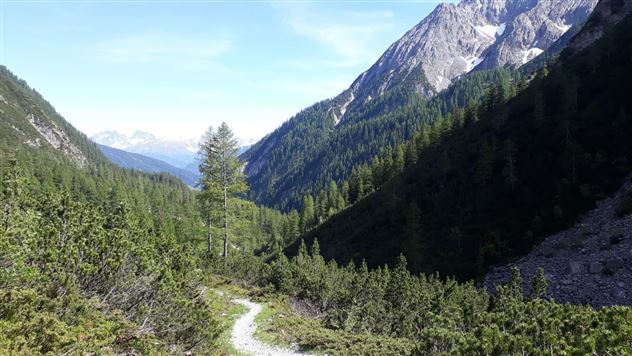
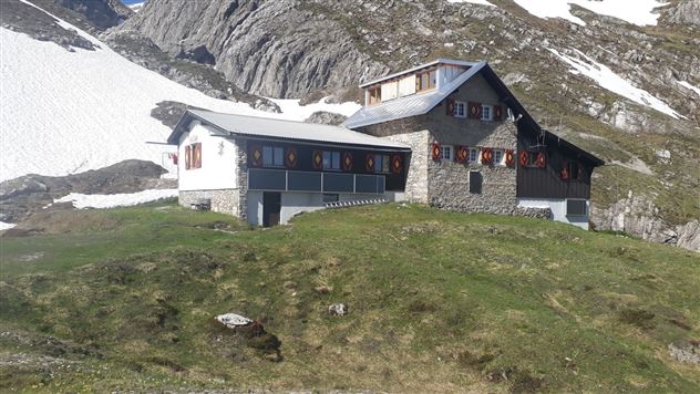
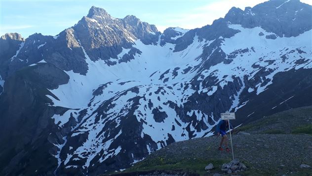
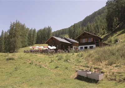
Start at the parking lot Zams/ Burschlwand the exit of the E5 long-distance trail. Follow the highway underpass for a short while and you will see the trail on the left side, direction Württembergerhaus. Follow this from now on. At the beginning steeply over the Haselwand (very nice view of Zams) into the Zammer Loch. After a few flat kilometers you arrive at the Unterlochalpe (snack station) there follow the signs to the right to the Württembergerhaus. From now on it goes steadily uphill until you reach the Württembergerhaus (2220 m). Passing the Württembergerhaus, the path forks and we follow the right side towards the Gebäudejoch. Passing the mountain lake (Auf der Lacke) we turn right again until we reach the highest point of the route, the Gebäudejoch (2452 m). From here you can throw the beautiful downhill over the Obere and Untere Gebäud. Also the Steinseehütte is glimpsed. Arrived at the Hinterstarkalpe, the path widens (= access road Steinseehütte) and you walk through the Starktal to the Alfutzalpe. From here, briefly follow the forest road before it goes again on a beautiful, fast downhill (Kopfsteig) towards Starkenbach.

Recommended Equipment

Trinkrucksack, Stöcke, Sportschuhe

Features & Characteristics

Start Point

Zams / Burschlwand

End Point

Starkenbach

Map & Elevation Profile

Similar Tour Suggestions

im_laufen_033.jpg

Easy

Running

Speed-run

Nordic walking

876 m

15 hm

14 hm

1055 m

Tschirgant.jpg

Medium

Running

TschirgantSkyRun TS26

Trailrunning

26,60 km

1780 hm

1781 hm

2357 m

im_laufen_001.jpg

Easy

Running

Nuireith fittrail

Nordic walking

2,20 km

70 hm

64 hm

1086 m

6B9A9837.jpg

Easy

Running

Starkenberger See

Trailrunning

11,50 km

400 hm

393 hm

1127 m

Trail Running (3).jpg

Medium

Running

Venet Alm circuit

Trailrunning

14,40 km

03:30 h

1000 hm

1994 m

Starkenberglauf.jpg

Hard

Running

Starkenberg run

Nordic walking

14,73 km

571 hm

576 hm

1073 m

imst_Bilder_BNVH_Wandern und SUP und Landschaft (23).JPG

Medium

Running

Gunglgrün Trail

Trailrunning

12,30 km

356 hm

360 hm

1098 m

Ursprungweg Beginn

Hard

Running

Plattigsteig

Trailrunning

13,90 km

04:30 h

1137 hm

1097 hm

2030 m

tirolimster-bergbahnenAlpine Coaster Logoarea47trustyou