Running

Hard

Plattigsteig

Trailrunning

13,90 km

04:30 h

1137 hm

1097 hm

2030 m

Best Time of Year

Jan

Feb

Mar

Apr

May

Jun

Jul

Aug

Sep

Oct

Nov

Dec

Information

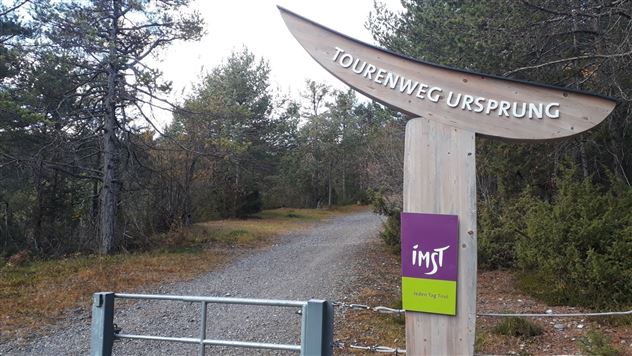
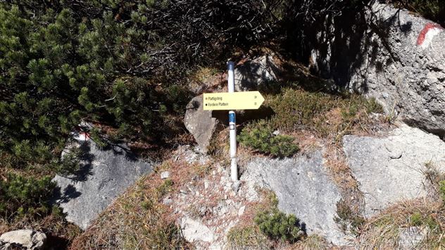
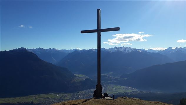
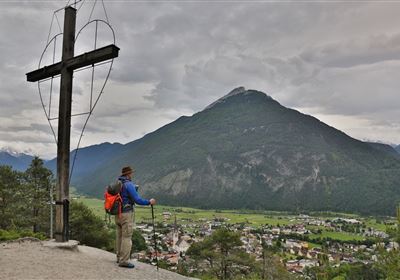
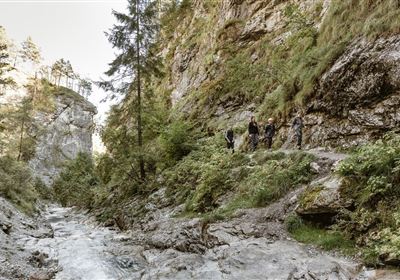
Starting point is the parking lot Hoch Imst. Towards the upper parking lot following the mushroom path steeply uphill. Across the Alptal to above Untermarkter Alm, on the Malchbachweg to Latschenhütte and the trail to the Muttekopfhütte until just before the Muttekopfhütte on the right side the Plattigsteig branches off. From here to the highest point of the route (Narrenkreuz/ Platteinwiese 2035 m). A breathtaking view of Imst rewards for the efforts before it goes over the trail to the Latschenhütte. The descent passes the Latschenhütte. Then over the Opferstock and the Sprisselstein until the trail meets the forest road. From here on the right side via the Hachleschlucht gorge back to Hoch Imst.

Features & Characteristics

Start Point

Hoch-Imst

End Point

Hoch-Imst

Map & Elevation Profile

Similar Tour Suggestions

imst_tourismus_wandern_wyhlidal_west_0004.jpg

Hard

Running

Teilwiesen run

Nordic walking

10,20 km

341 hm

333 hm

1075 m

Karröstenallerlei (256).JPG

Easy

Running

Karröster Runde

Trailrunning

9,40 km

02:30 h

307 hm

311 hm

963 m

6B9A9837.jpg

Easy

Running

Starkenberger See

Trailrunning

11,50 km

400 hm

393 hm

1127 m

20200521_104332.jpg

Hard

Running

TschirgantSkyRun TS42

Trailrunning

42,36 km

2325 hm

2331 hm

2227 m

im_laufen_033.jpg

Easy

Running

Speed-run

Nordic walking

876 m

15 hm

14 hm

1055 m

20110409162608 _.jpg

Easy

Running

Nassereith village run

Nordic walking

4,43 km

84 hm

85 hm

873 m

g-fernstein_beisser_hettich_013.jpg

Easy

Running

Fernsteinsee Run

Nordic walking

1,93 km

57 hm

67 hm

960 m

imst_tourismus_wandern_wyhlidal_west_0073.jpg

Easy

Running

Forest run

Nordic walking

5,65 km

207 hm

176 hm

905 m

tirolimster-bergbahnenAlpine Coaster Logoarea47trustyou