Hiking

Medium

Simmeringalm

Hiking tour

19,00 km

05:30 h

1058 hm

1814 m

Information

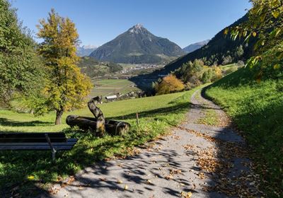
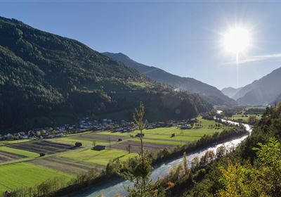
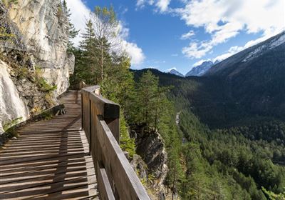
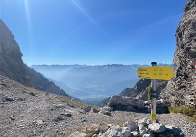
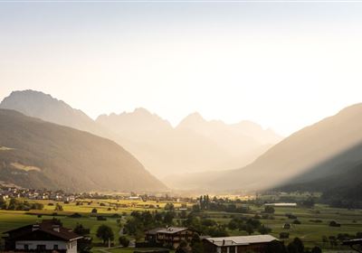
Start the hike at the Dormitz fields and immediately set off on an uphill path across fields and through dense forest. The ascent is quite steep at the beginning, but the diverse nature makes up for the effort. Once you reach the tree line, beautiful alpine meadows open up. The trail continues uphill and the Simmeringer Alm is already within reach. The ascent over the green alpine meadows increases the anticipation of the nearby destination with every step. When you arrive at the Simmeringer Alm, take time to enjoy the breathtaking view. The surrounding mountains and valleys stretch out before you, and the Simmeringer Alm provides the perfect backdrop for a well-earned break. Take the opportunity to stop off at the hut for refreshments. Enjoy local delicacies and recharge your batteries before heading back. The way back takes you back down through the green alpine meadows and forest. Take the time to enjoy nature to the full as you return refreshed and recharged from this alpine adventure.

Recommended Equipment

good shoes, enough to drink

Features & Characteristics

Stamina

Skill

Start Point

Dormitz

End Point

Dormitz

Map & Elevation Profile

Similar Tour Suggestions

DSC_0647.JPG

Medium

Hiking

Milsbergsteig

Hiking tour

6,10 km

334 hm

523 hm

1183 m

WF_Imst_T26_IMG_01_8181_Durner.jpg

Hard

Hiking

Karrösten: Tschirgant Überschreitung

Hiking tour

16,00 km

09:00 h

1388 hm

1384 hm

2362 m

Anhalter Hütte-©Anhalter Hütte (5)-1.jpg

Medium

Hiking

Anhalter Hütte (Plötzig)

Hiking tour

Hut hike

9,50 km

04:00 h

347 hm

890 hm

2198 m

Lochmühle.jpg

Medium

Hiking

Lochmühle

Hiking tour

3,70 km

01:30 h

198 hm

300 hm

1033 m

Kappakreuz.jpg

Medium

Hiking

Kappakreuz

Hiking tour

1,40 km

02:30 h

403 hm

1234 m

fernstein_beisser_hettich_072.jpg

Easy

Hiking

WF_Imst_T11_IMG_01_4754_Durner.jpg

Easy

Hiking

Geo-Lehrpfad – Karröster Alm

Hiking tour

6,40 km

03:00 h

432 hm

426 hm

1468 m

Scharnitzsattel Richtung Imst.JPG

Medium

Hiking

Scharnitzsattel 2.441 hm

Hiking tour

11,10 km

05:45 h

549 hm

1393 hm

2440 m

tirolimster-bergbahnenAlpine Coaster Logoarea47trustyou