Hiking

Medium

Section 3a: Imsterberg - Imst

Long distance trails

12,50 km

03:00 h

407 hm

492 hm

1035 m

Best Time of Year

Jan

Feb

Mar

Apr

May

Jun

Jul

Aug

Sep

Oct

Nov

Dec

Information

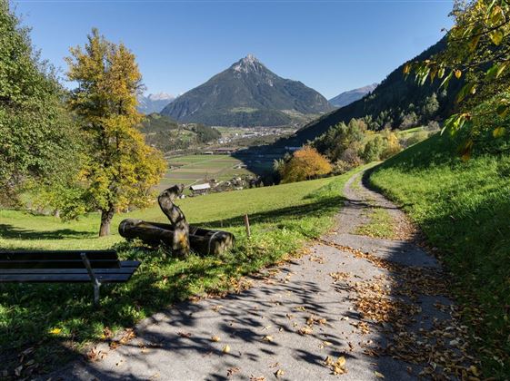
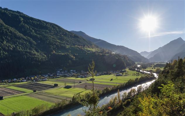
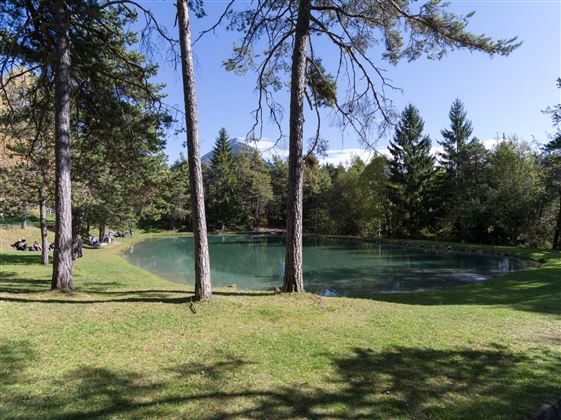
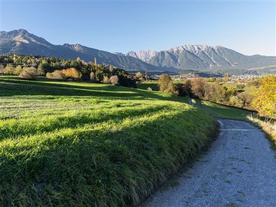
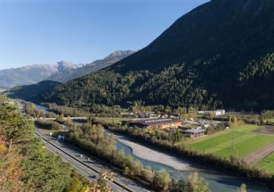
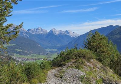
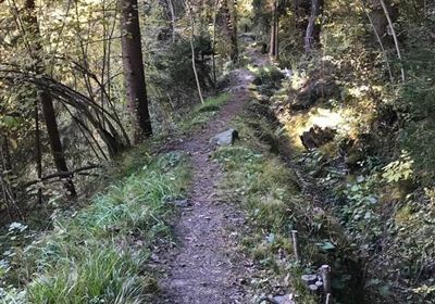
From Imsterberg, follow the road back a short distance to Endsfeld. There begins a meadow and forest path that leads directly to the Imsterberg viewing platform. Stop there and enjoy the sensational view of the Gurgltal valley.  Now descend via serpentines into Imsterau until you reach the train station. At the first bend, turn left onto the avenue and follow the path directly along the Inn River to the bridge. In the valley basin, cross the bridge and follow the course of the road in the direction of Gschnallenhöfe until you reach the main road. From there, a forest path leads to the Imst district of Gunglgrün and the Maria Schnee chapel. It is worth taking a look at the chapel, which is very popular with locals for baptisms and small weddings. Here you follow the asphalt road past the forest playground to Hoch-Imst. From there it's through the wildly romantic Rosengarten Gorge to the town center of Imst.

Features & Characteristics

Start Point

Hoch-Imst

End Point

Imsterberg municipal office

Map & Elevation Profile

Similar Tour Suggestions

WF_Imst_T20_IMG_02_7860_Durner.jpg

Medium

Hiking

Sinnesjoch (No. 43)

Hiking tour

7,20 km

05:00 h

811 hm

809 hm

2270 m

WF_Imst_T05_IMG_01_5939_Durner.jpg

Easy

Hiking

Salvesenschlucht (No. 16)

Hiking tour

4,30 km

01:45 h

195 hm

988 m

2018-Wandern-Bergsteigen-Tarrenz-Sinnesbrunn-Alpleskopf-web-©Rudi Wyhlidal (135).jpg

Medium

Hiking

Marienbergalm

Hiking tour

10,00 km

04:00 h

497 hm

491 hm

1622 m

Mils_Starkenbach-1.jpg

Medium

Hiking

Section 2a: Kronburg - Imsterberg

Long distance trails

11,20 km

04:00 h

435 hm

489 hm

1189 m

WF_Imst_T15_IMG_01_3285_Plott.jpg

Medium

Hiking

Tarrenz: Obtarrenz - Dollinger - Kropfsee

Hiking tour

11,60 km

04:00 h

301 hm

363 hm

1070 m

Wannig.jpg

Hard

Hiking

Wannig

Hiking tour

12,00 km

12:00 h

1715 hm

2493 m

WF_Imst_T09_IMG_03_9086_Durner.jpg

Easy

Hiking

Göfelesee - Sießekopf

Hiking tour

5,50 km

02:00 h

165 hm

163 hm

1558 m

Karres - Roppen.jpg

Easy

Hiking

Karres - Roppen

Hiking tour

5,50 km

01:40 h

96 hm

225 hm

856 m

tirolimster-bergbahnenAlpine Coaster Logoarea47trustyou