Hiking

Easy

Oberfeld irrigation canal Roppen

Hiking tour

1,90 km

01:15 h

43 hm

760 m

Best Time of Year

Jan

Feb

Mar

Apr

May

Jun

Jul

Aug

Sep

Oct

Nov

Dec

Information

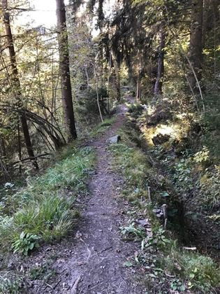
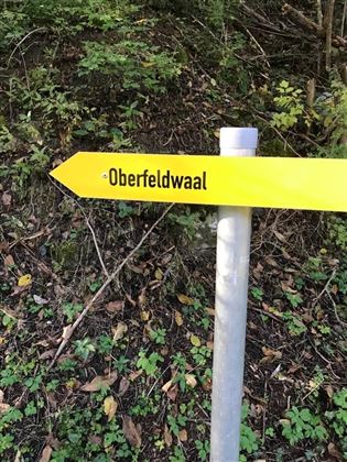
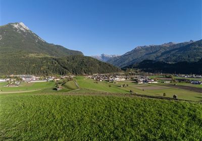
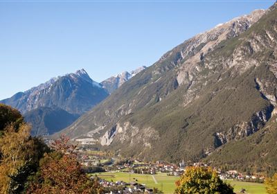
Experience the beauty of nature on the easy hike along the Oberfeldwaal in Roppen. The starting point is the sports field in Roppen, from where the circular trail leads along old irrigation systems that once watered the fields. Although these historic irrigation channels have been decommissioned, there are plans to restore them and run them with water. The picturesque landscape makes this hike an unforgettable experience for nature lovers of all kinds.


Recommended Equipment

good shoes, enough to drink

Features & Characteristics

Stamina

Skill

Start Point

Sportplatz Roppen

End Point

Sportplatz Roppen

Map & Elevation Profile

Similar Tour Suggestions

Scharnitzsattel Richtung Imst.JPG

Medium

Hiking

Scharnitzsattel 2.441 hm

Hiking tour

11,10 km

05:45 h

549 hm

1393 hm

2440 m

WF_Imst_T06_IMG_05_6273_Plott.jpg

Easy

Hiking

Hachleschlucht

Hiking tour

4,40 km

02:30 h

298 hm

1051 m

WF_Imst_T11_IMG_01_4754_Durner.jpg

Easy

Hiking

Geo-Lehrpfad – Karröster Alm

Hiking tour

6,40 km

03:00 h

432 hm

426 hm

1468 m

image.jpg

Easy

Hiking

Imsterberger Venetalm

Hiking tour

8,80 km

05:00 h

1099 hm

1980 m

Hochimst-1-4.jpg

Medium

Hiking

Section 3a: Imsterberg - Imst

Long distance trails

12,50 km

03:00 h

407 hm

492 hm

1035 m

Große Imsterberger Dorfrunde.jpg

Easy

Hiking

Long Imsterberg village walk

Hiking tour

2,70 km

01:00 h

133 hm

130 hm

986 m

imst_tourismus_wandern_wyhlidal_west_0004.jpg

Easy

Hiking

Adlerhorststeig

Hiking tour

Loop Hike

12,10 km

04:00 h

345 hm

343 hm

1116 m

WF_Imst_T27_IMG_01_9216_Durner.jpg

Hard

Hiking

Imster Höhenweg

Hiking tour

13,00 km

09:00 h

1782 hm

805 hm

2557 m

tirolimster-bergbahnenAlpine Coaster Logoarea47trustyou