Sport Climbing

Muttekopfhütte / Klettergärten

Sport climbing area

Rocks: Kalk

+13

Best Time of Year

Jan

Feb

Mar

Apr

May

Jun

Jul

Aug

Sep

Oct

Nov

Dec

Information

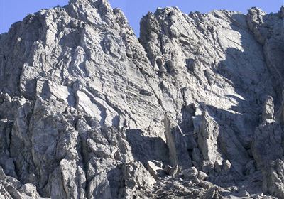
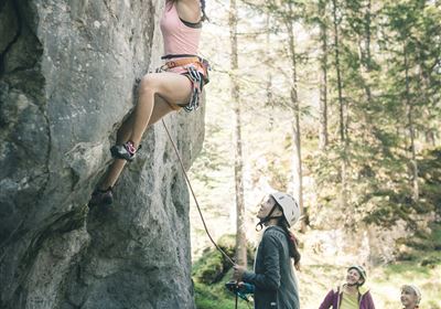
Climbing garden in a fantastically beautiful and alpine surrounding above the managed Muttekopf Hut.

Features & Characteristics

Rocks

Kalk

Route number

118

Exposure E

Yes

Walking time to entry point min.

Walking time to entry point max.

Route length from

8

Route length to

50

Number of difficulty 3 routes

11

Number of difficulty 4 routes

17

Number of difficulty 5 routes

33

Number of difficulty 6 routes

36

Number of difficulty 7 routes

17

Number of difficulty 8 routes

4

Number of difficulty 9 routes

0

Arrival

Access:
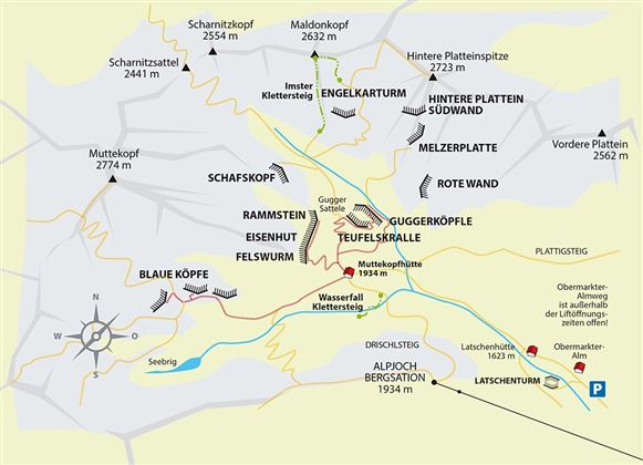
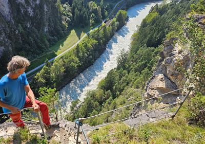
Exit the motorway A12 at Imst and take the entry/driveway 4 (look at the map) up to Hoch-Imst. With the lift up to the summit station of the Alpjoch and via the Drischlsteig (exposed - Caution with children) in 30 minutes to the Muttekopf Hut. You can also reach the hut by foot in ca. 2,5 hours from Hoch-Imst. From the hut within 15-30 minutes to the individual sectors.

Map & Elevation Profile

Similar Tour Suggestions

2011-Klettern-Reithle-Imst-©Mike Gabl (8).jpg

Sport Climbing

Imst / Reithle

Sport climbing area

20110628170356_01.jpg

Climbing Gym

Kletterzentrum Imst

Indoor climbing centres

2015-Klettern-Janus-Götterwandl-©Bernie Ruech.jpg

Sport Climbing

2010-Klettern-Bilder für Kletterführer-Vorschläge-Anhalter Hütte-©Unbekannt (2).JPG

Sport Climbing

Hahntennjoch / Anhalterhütte

Sport climbing area

Closed
web2_02.png

Sport Climbing

Nassereith - Leite

Sport climbing area

Imst_KG_Kaltes Loch_Übersicht_75dpi.jpg

Sport Climbing

Imsterberg / Kaltes Loch

Climbing

Sport climbing area

Absturzsicherung_1.jpg

Alpine Climbing Route

Steinblock_Imst_byRudiWyhlidal-0843.jpg

Climbing Gym

tirolimster-bergbahnenAlpine Coaster Logoarea47trustyou