Hiking

Easy

Karröster Alm

Hiking tour

Hut hike

+1

8,00 km

01:00 h

565 hm

1471 m

Information

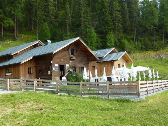
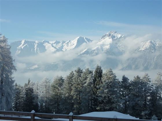
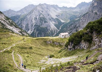
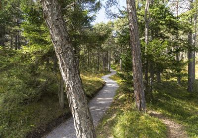
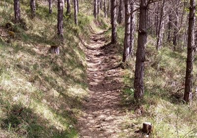
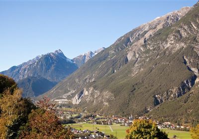
Join us on a tour from Karrösten to the Karröster Alm that is not too difficult, but nonetheless charming! The ascent is a moderate 548 meters in altitude and the trail leads partly along a forest path and partly through picturesque forest paths. There are always beautiful views of the valley and the surrounding mountains.

Along the way, you can also discover the hidden entrances to the old mines, which nestle rather inconspicuously into the rocks, a fascinating reminder of times long past.

Enjoy the tranquillity of nature and the fresh mountain air as you approach the Karröster Alm. Once there, you can enjoy the idyllic surroundings to the full during a well-earned rest.

Recommended Equipment

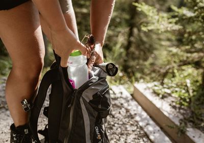
good shoes, enough to drink

Features & Characteristics

Stamina

Skill

Start Point

Karrösten

End Point

Karröster Alm

Map & Elevation Profile

Similar Tour Suggestions

Imst_Wetterkreuz-1-2.jpg

Easy

Hiking

Section 4: Imst - Tarrenz

Long distance trails

7,10 km

02:30 h

298 hm

252 hm

1063 m

imst_tourismus_bergsteigen_wyhlidal_west_0305.jpg

Medium

Hiking

Alpjoch (No. 28)

Hiking tour

8,80 km

05:00 h

320 hm

835 hm

2339 m

20190811_114250.jpg

Medium

Hiking

Panoramasteig

Hiking tour

7,70 km

03:30 h

502 hm

494 hm

1204 m

DJI_0391.jpg

Medium

Hiking

Seenwanderung

Hiking

Hiking tour

14,00 km

04:00 h

159 hm

160 hm

2018-Wandern-Bergsteigen-Tarrenz-Sinnesbrunn-Alpleskopf-web-©Rudi Wyhlidal (157).jpg

Medium

Hiking

Lehnberghaus

Hiking tour

5,70 km

02:46 h

409 hm

1554 m

img_9853.jpg

Medium

Hiking

Three-huts-tour

Hiking tour

13,20 km

06:00 h

1120 hm

1057 hm

2028 m

Loreahütte.jpg

Medium

Hiking

Loreahütte

Hiking tour

5,80 km

06:00 h

1502 hm

2427 m

imst_tourismus_wandern_wyhlidal_west_0563.jpg

Medium

Hiking

Gafleinhütte

Hiking tour

4,30 km

02:00 h

253 hm

256 hm

1681 m

tirolimster-bergbahnenAlpine Coaster Logoarea47trustyou