Places to recharge every day
Natural Gems
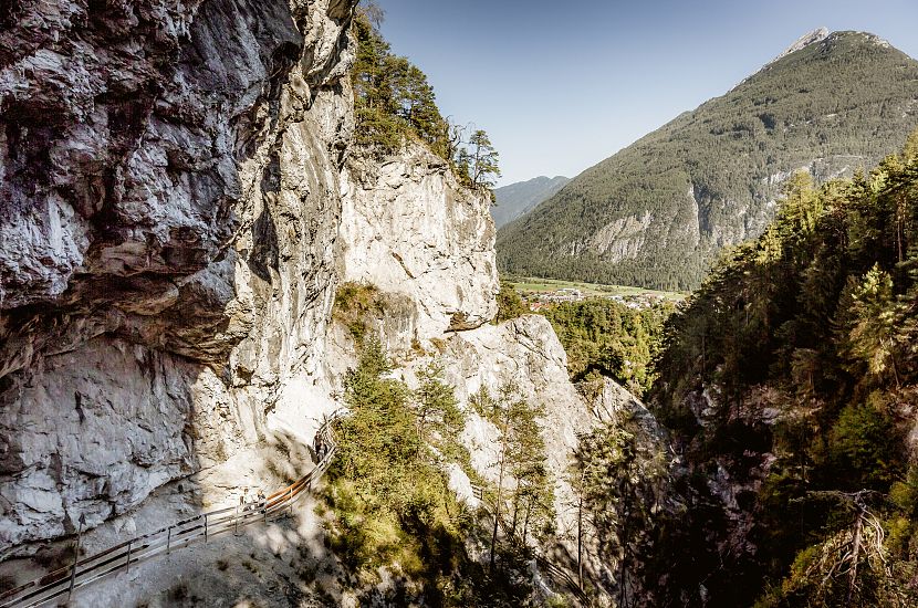
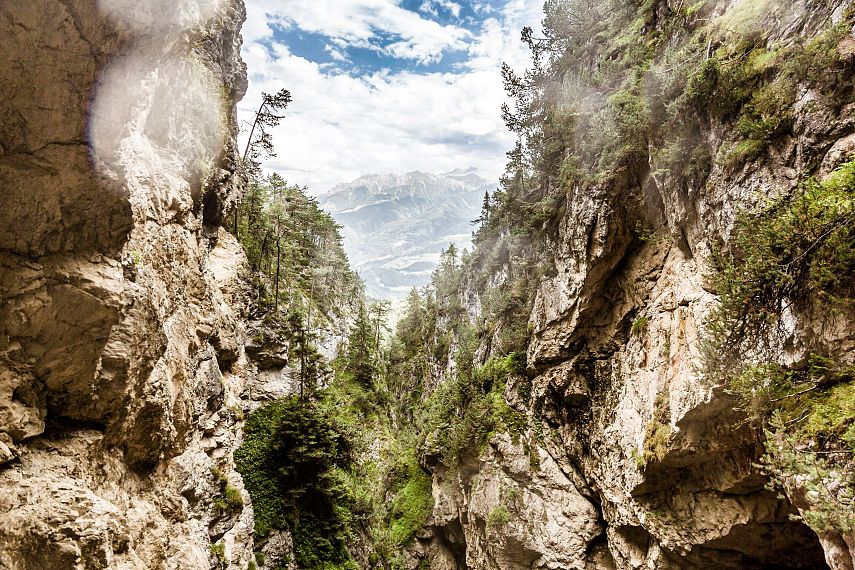
Discover the Outdoorregion Imst, a treasure chest full of natural wonders and unspoilt landscapes that showcase the incredible power of nature. Feel the energy up close on hikes through the impressive Rosengarten Gorge or while exploring the mysterious moors in Sinnesbrunn. The Muttekopf area also offers unique views and invites you to find inner peace in the midst of powerful natural places. Recharge your batteries and enjoy breathtaking panoramas that touch your soul.
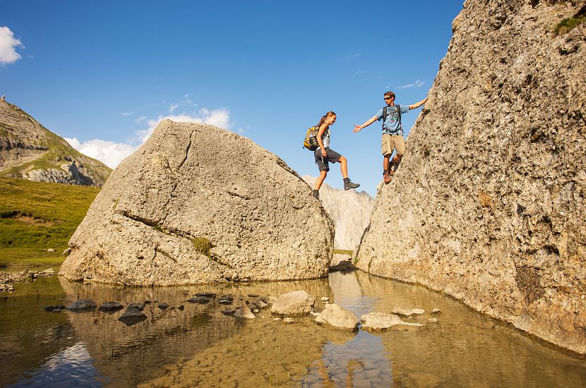
The Muttekopf nature reserve has been placed under nature protection due to its geological peculiarities and beauty and comprises the south-eastern part of the Lechtal Alps. A special geological feature is the highest and best exposed Gosau deposit in the entire Limestone Alps. The variety of Cretaceous deposits with breccias, conglomerates, sandstones, marls, turbidites and the famous megabreccias of the "Blue Heads" on the southern slope of the Muttekopf make the area a unique example of sedimentary geology.
Habitat
The Muttekopf area lies largely above the tree line. Dwarf shrub heaths, flower-rich mats, scree and cushion plants characterise the landscape. The fertile soils on the marl and sandstone support a remarkably diverse flora. The Seebrig area is a charming speciality. An extensive cotton grass moor has developed in the centre of a hollow south of the Muttekopf slope. The area is traditionally used as summer pasture for sheep. Ibex can often be seen in the rocks of the Muttekar.
To the digital map...
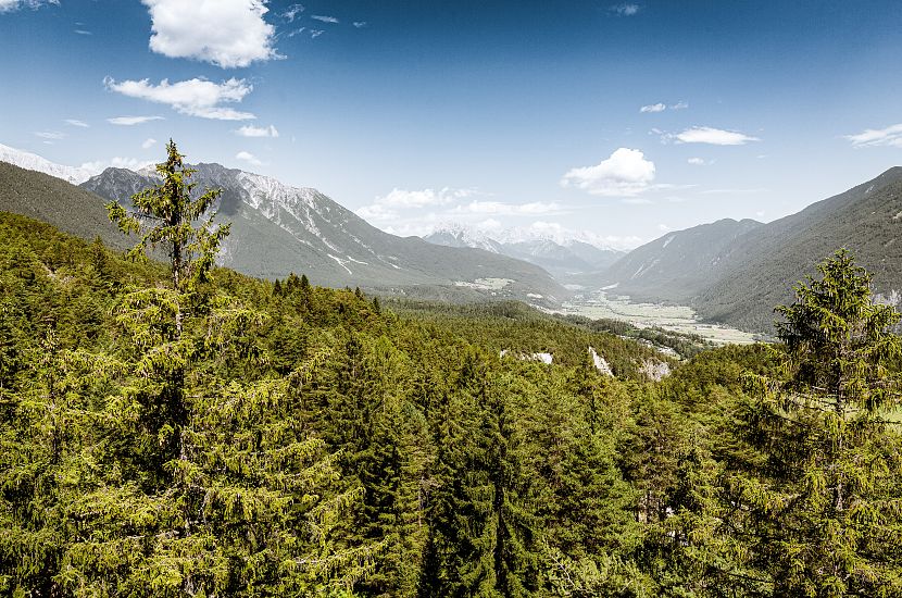
The Gurgltal is characterised by its unparalleled composition and diversity of animal and plant species and habitats in a relatively small area. The variety of meadows, hedges, streams, spring outlets, wetlands, ancient terraced landscapes on the sunny slopes, the dry hills of the landslide and above all the large number of hay barns from Nassereith to Imst are the source of the valley inhabitants' sense of home. The Gurgltal is characterised by a largely traditional, small-scale cultural landscape.
The Tyrolean Gurgltal is therefore one of the most ecologically diverse and valuable inner-alpine valley areas in western Austria. Locals and visitors alike enjoy the very high recreational value of the Gurgltal as cyclists along the Via Claudia Augusta, while Kneipp bathing at the healing spring, visiting the Knappenwelt or simply walking along the footpaths. Alternative, sustainability-orientated land uses help to preserve the valuable habitat for people and biodiversity and offer development paths for the future.
To the digital map...
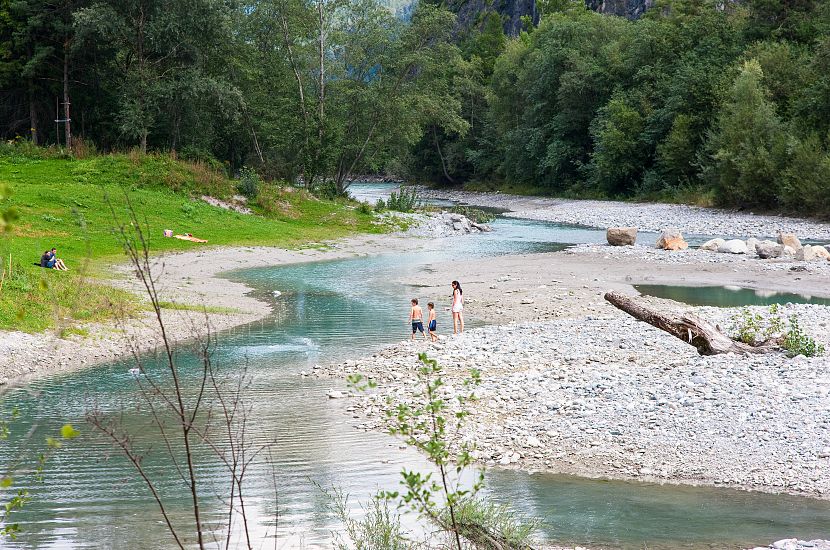
The "Milser Au Revitalisation Project" preserves the ecosystem of the grey alder floodplain forest in the long term and revitalises the natural habitat to prevent the transition from a softwood floodplain to a less ecologically valuable one. The revitalisation project has created flood retention areas and valuable habitats for rare animals and plants in conjunction with near-natural river structures.
To the digital map...
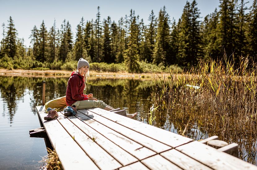
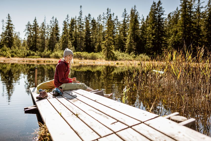
A small pilgrimage church and healing spring water gave the area its name. Hidden in the hilly terrain, covered in spruce forest, are numerous small moors in glacial hollows.
Significance
The Sinnesbrunn moors are recognised as moors of national and international importance due to their particularly remarkable diversity of moor development stages and the presence of rare plant communities.
Local recreation
The forest and moorland landscape of Sinnesbrunn is impressively beautiful and will captivate any hiker. Away from the valley traffic and the background noise of residential areas, you can enjoy nature and find peace and quiet here. We ask all those seeking recreation not to enter the sensitive wetlands and not to build any fire pits.
To the digital map...
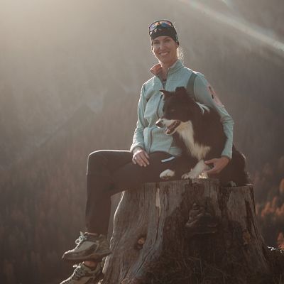
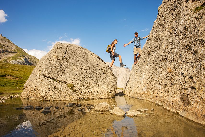
Together with her dog Buddy, Silvia Mair guides hiking enthusiasts through the mountains of the Imst outdoor region all year round. Would you also like to know which tours the locals can recommend and where the favourite spots of long-time guests are? Then take a look at the summer programme and sign up for a guided hike!


