Hiking

Medium

Sinnesjoch (No. 43)

Hiking tour

7,20 km

05:00 h

811 hm

809 hm

2270 m

Information

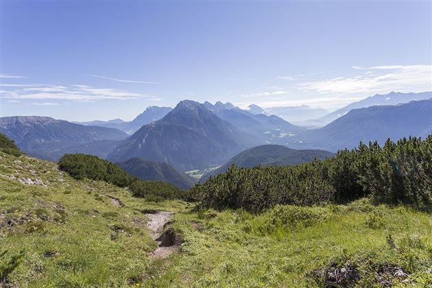
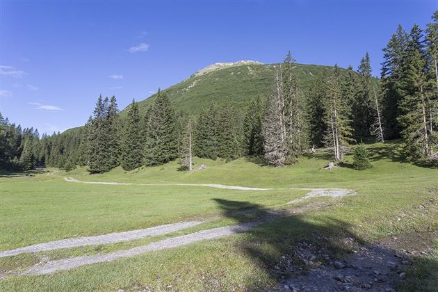
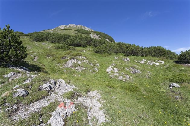
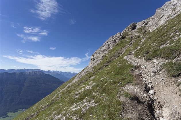
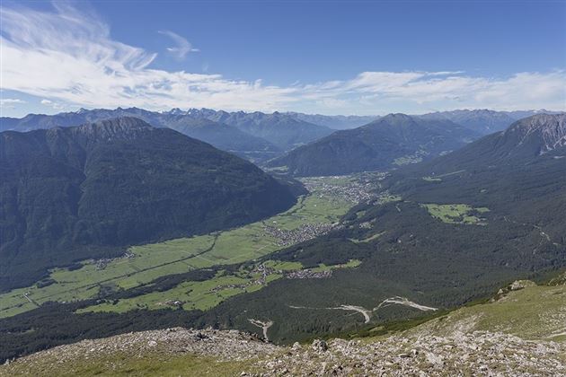
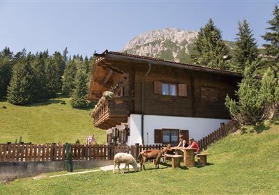
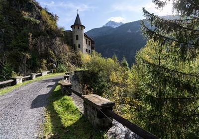
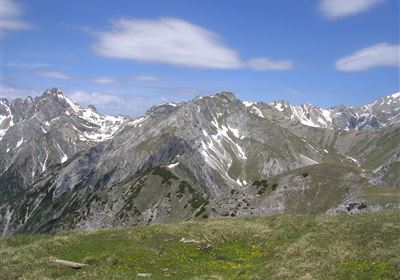
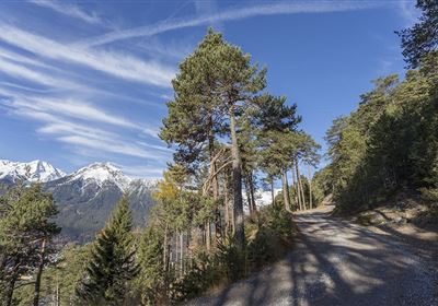
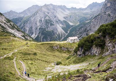
From the Sinnesbrunn parking lot, hike above Obtarrenz on the forest road in the direction of "Sinnesjoch". The trail leads past the Sinnesbrunn pilgrimage church (with benches and fountain) and the mountain guard hut until you reach the Sinnesgatter after about 1.7 km. Now turn left onto the uphill path to the Sinnesjoch. The path leads very steeply, partly through mountain pines, on the eastern ridge up to the Sinnesjoch. From the summit plateau of the Sinnesjoch you have an excellent panoramic view. The way back is on the same path.

Refreshment stops: Kappakreuz 

Family-friendly hike

Highlights: Sinnesbrunn pilgrimage church, summit plateau with panoramic views.

Recommended Equipment

good shoes, enough liquid

Features & Characteristics

Stamina

Skill

Start Point

Sinnesbrunn

End Point

Sinnesjoch

Map & Elevation Profile

Similar Tour Suggestions

Karres - Roppen.jpg

Easy

Hiking

Karres - Roppen

Hiking tour

5,50 km

01:40 h

96 hm

225 hm

856 m

imst_tourismus_wandern_wyhlidal_west_0563.jpg

Medium

Hiking

Gafleinhütte

Hiking tour

4,30 km

02:00 h

253 hm

256 hm

1681 m

Loreahütte.jpg

Medium

Hiking

Loreahütte

Hiking tour

5,80 km

06:00 h

1502 hm

2427 m

Wannig.jpg

Hard

Hiking

Wannig

Hiking tour

12,00 km

12:00 h

1715 hm

2493 m

2015-Schwimmen & Tauchen-Starkenberger See-Tarrenz-©Unbekannt (16).jpg

Easy

Hiking

Starkenberger See

Hiking tour

Loop Hike

5,00 km

02:00 h

106 hm

110 hm

900 m

Adlerweg Etappe 19: Hanauer Hütte

Medium

Hiking

Eagle Walk Stage 19: Anhalter Hütte - Hanauer Hütte

Eagle walk

12,30 km

04:00 h

813 hm

941 hm

2188 m

Muthenaualm.JPG

Medium

Hiking

Muthenaualm

Hiking tour

Hut hike

+1

6,80 km

04:20 h

988 hm

85 hm

1783 m

im_huette_anhalter_015.jpg

Medium

Hiking

Anhalter Hütte

Hiking tour

Hut hike

6,00 km

03:00 h

514 hm

515 hm

2195 m

tirolimster-bergbahnenAlpine Coaster Logoarea47trustyou