Running

Easy

Rosengartenschlucht

Trailrunning

11,20 km

03:30 h

766 hm

774 hm

1468 m

Best Time of Year

Jan

Feb

Mar

Apr

May

Jun

Jul

Aug

Sep

Oct

Nov

Dec

Information

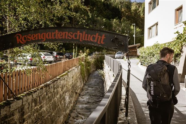
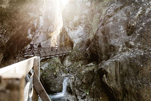
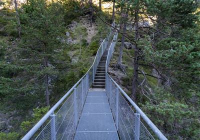
The bus starts at the Sonne parking lot. From there you can quickly reach the wild and romantic Rosengarten Gorge. Follow this steeply upwards to Hoch Imst. There follow the toboggan run almost to Untermarkter Alm (highest point of the route 1488m). Branch off is the last forest road on the left side, via which you reach the Alptal. Follow the trail downhill to the reservoir. At the reservoir, turn right over the wooden bridge and walk along the forest road to the fork (Laggers/ Imst). Once there, turn left towards Imst and walk over Langegg and down the forest road on the southern side of the Rosengarten gorge to the Hoch Imst access road. Cross the road and follow the Steffelwald to the entrance Rosengartenschlucht and thus also the end point.

Features & Characteristics

Start Point

Büro Imst Tourismus

End Point

Büro Imst Toursimus

Map & Elevation Profile

Similar Tour Suggestions

im_laufen_059.jpg

Easy

Running

City run

Nordic walking

5,13 km

122 hm

836 m

20110409162608 _.jpg

Easy

Running

Nassereith village run

Nordic walking

4,43 km

84 hm

85 hm

873 m

im_laufen_012.jpg

Medium

Running

Sparkassen run

Nordic walking

8,16 km

211 hm

212 hm

916 m

im_laufen_004.jpg

Easy

Running

Inn bridge run

Nordic walking

6,03 km

154 hm

152 hm

796 m

Karröster Alm_Bild

Easy

Running

TschirgantSkyRun TS16

Trailrunning

16,90 km

06:30 h

811 hm

814 hm

1468 m

Tschirgant.jpg

Medium

Running

TschirgantSkyRun TS26

Trailrunning

26,60 km

1780 hm

1781 hm

2357 m

Karröstenallerlei (256).JPG

Easy

Running

Karröster Runde

Trailrunning

9,40 km

02:30 h

307 hm

311 hm

963 m

imst_tourismus_wandern_wyhlidal_west_0004.jpg

Hard

Running

Teilwiesen run

Nordic walking

10,20 km

341 hm

333 hm

1075 m

tirolimster-bergbahnenAlpine Coaster Logoarea47trustyou