Hiking

Easy

Höhenweg

Hiking tour

Circular hike

6,00 km

02:30 h

335 hm

1332 m

Information

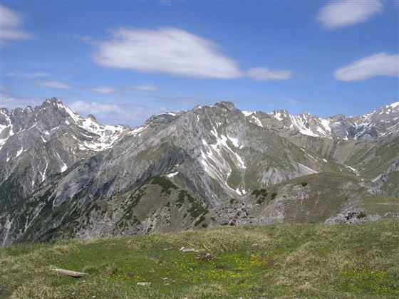
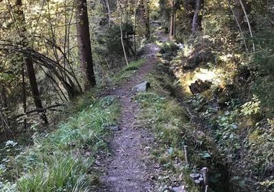
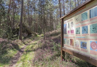
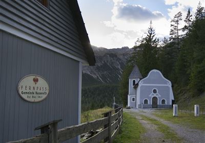
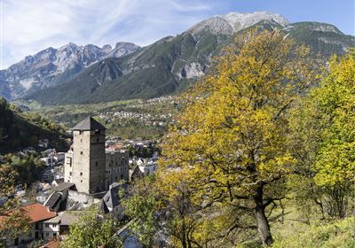
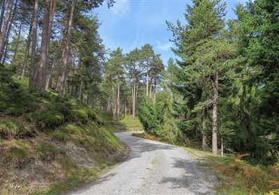
The high-altitude trail hike from Karrösten to Karres leads through forests and meadows and is easily doable with 350 meters of elevation gain over 7 kilometers. This tour is ideal for hikers with a bit of stamina The high-altitude trail hike not only offers physical exercise and fresh air, but also the opportunity to enjoy nature to the full. It is an opportunity to get away from it all and recharge your batteries while exploring the beauty of the surroundings.

Features & Characteristics

Start Point

Karrösten

End Point

Höhenweg

Circular hike

Yes

Map & Elevation Profile

Similar Tour Suggestions

Karres - Roppen.jpg

Easy

Hiking

Karres - Roppen

Hiking tour

5,50 km

01:40 h

96 hm

225 hm

856 m

imst_tourismus_wandern_wyhlidal_west_0563.jpg

Medium

Hiking

Gafleinhütte

Hiking tour

4,30 km

02:00 h

253 hm

256 hm

1681 m

Loreahütte.jpg

Medium

Hiking

Loreahütte

Hiking tour

5,80 km

06:00 h

1502 hm

2427 m

Wannig.jpg

Hard

Hiking

Wannig

Hiking tour

12,00 km

12:00 h

1715 hm

2493 m

2015-Schwimmen & Tauchen-Starkenberger See-Tarrenz-©Unbekannt (16).jpg

Easy

Hiking

Starkenberger See

Hiking tour

Loop Hike

5,00 km

02:00 h

106 hm

110 hm

900 m

Adlerweg Etappe 19: Hanauer Hütte

Medium

Hiking

Eagle Walk Stage 19: Anhalter Hütte - Hanauer Hütte

Eagle walk

12,30 km

04:00 h

813 hm

941 hm

2188 m

Muthenaualm.JPG

Medium

Hiking

Muthenaualm

Hiking tour

Hut hike

+1

6,80 km

04:20 h

988 hm

85 hm

1783 m

im_huette_anhalter_015.jpg

Medium

Hiking

Anhalter Hütte

Hiking tour

Hut hike

6,00 km

03:00 h

514 hm

515 hm

2195 m

tirolimster-bergbahnenAlpine Coaster Logoarea47trustyou