Running

Medium

Putzen Trail

Trailrunning

10,70 km

498 hm

484 hm

1269 m

Information

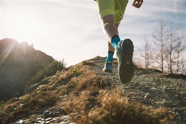
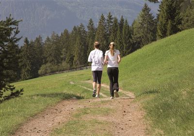
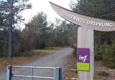
Start from the sports center in Imst and run past the Imst swimming pool. The route ascends via the "Rofentreppe" (staircase), then continues flat along Postgasse before continuing along Gebhartstraße and Unterm Hohen Rain towards Putzenwald (follow the signs for the Putzen climbing garden). The route climbs gently, passing the Putzenschanze ski jump and the Imst ice canal. The steep climb follows the path to Hoch Imst until you see the signs for "Laggers" on your left. Follow the path (Langegg) uphill until you reach a forest road. Turn right along this road, past the reservoir to the ski slope. Follow this road downhill to Hoch Imst and then towards Wetterkreuz. A beautiful downhill takes you back to Imst and back to the sports center.

Recommended Equipment

Trinkrucksack, Stöcke, Sportschuhe

Features & Characteristics

Start Point

Sportzentrum

End Point

Sportzentrum

Map & Elevation Profile

Similar Tour Suggestions

imst_tourismus_wandern_wyhlidal_west_0073.jpg

Easy

Running

Forest run

Nordic walking

5,65 km

207 hm

176 hm

905 m

karroesten_west05.jpg

Medium

Running

Tschirgant Trail

Trailrunning

19,96 km

1447 hm

1833 hm

2356 m

imst_tourismus_wandern_wyhlidal_west_0073.jpg

Medium

Running

Tschirgant run

Nordic walking

11,72 km

279 hm

333 hm

918 m

im_laufen_004.jpg

Easy

Running

Inn bridge run

Nordic walking

6,03 km

154 hm

152 hm

796 m

20181111_092908.jpg

Hard

Running

Plattigsteig

Trailrunning

13,90 km

04:30 h

1137 hm

1097 hm

2030 m

imst_tourismus_wandern_wyhlidal_west_0004.jpg

Hard

Running

Teilwiesen run

Nordic walking

10,20 km

341 hm

333 hm

1075 m

imst_tourismus_wandern_wyhlidal_west_0119.jpg

Medium

Running

Sonneck Trail

Trailrunning

11,10 km

460 hm

1399 m

20200521_104544.jpg

Medium

Running

TschirgantSkyRun TS26

Trailrunning

26,60 km

1780 hm

1781 hm

2357 m

tirolimster-bergbahnenAlpine Coaster Logoarea47trustyou