Running

Hard

TschirgantSkyRun TS42

Trailrunning

42,36 km

2325 hm

2331 hm

2227 m

Information

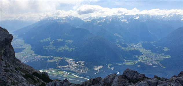
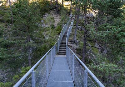
The TS42 mountain marathon is technically easier than the TS26 and TS52, but it is not lacking in highlights. All routes are the same up to the Karröster Alm, then the TS42 climbs over alpine pastures and a path through mountain pines to the so-called "Frühstücksplatzl" (breakfast spot) on the Tschirgantgrat. It continues to the Haimingeralm and then quickly descends to Strad, where the valley side is crossed. This is followed by the high pass at the Salvesen Gorge, the Starkenbergersee Lake, and the Rosengarten Gorge. The scenery is truly breathtaking.

Recommended Equipment

Trinkrucksack, Stöcke, Sportschuhe, Riegel & Wasser

Features & Characteristics

Start Point

Stadtzentrum Imst

End Point

Sportzentrum Imst

Map & Elevation Profile

Similar Tour Suggestions

Karröster Alm_Bild

Easy

Running

TschirgantSkyRun TS16

Trailrunning

16,90 km

06:30 h

811 hm

814 hm

1468 m

imst_tourismus_wandern_wyhlidal_west_0073.jpg

Easy

Running

Forest run

Nordic walking

5,65 km

207 hm

176 hm

905 m

im_laufen_034.jpg

Easy

Running

Chapel tour

Nordic walking

2,01 km

20 hm

18 hm

836 m

20190624_163412.jpg

Hard

Running

Württemberger Trail

Trailrunning

21,10 km

1853 hm

1789 hm

2449 m

karroesten_west05.jpg

Medium

Running

Tschirgant Trail

Trailrunning

19,96 km

1447 hm

1833 hm

2356 m

Tschirgant.jpg

Medium

Running

TschirgantSkyRun TS26

Trailrunning

26,60 km

1780 hm

1781 hm

2357 m

im_laufen_050.jpg

Hard

Running

Gurgltal half marathon

Nordic walking

20,25 km

246 hm

253 hm

862 m

g-fernstein_beisser_hettich_013.jpg

Easy

Running

Fernsteinsee Run

Nordic walking

1,93 km

57 hm

67 hm

960 m

tirolimster-bergbahnenAlpine Coaster Logoarea47trustyou